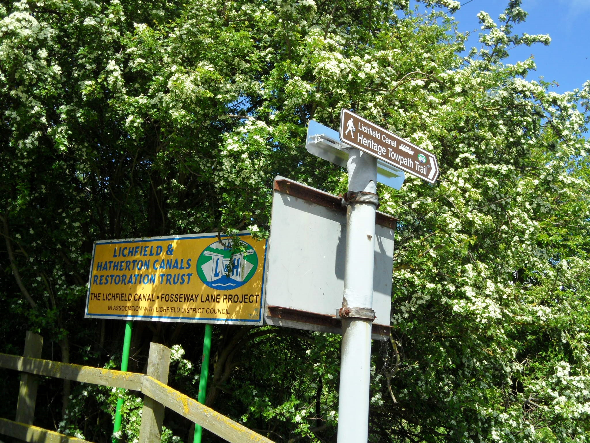
Armed with a bag of Werther’s Originals and a vague plan about finding the site of Boudica’s final battle against the Romans, my friend (and countrywoman) and I headed down the A5 towards Atherstone.

Boudica’s burial place is one of Britain’s great mysteries. I thought for years that the warrior queen rested beneath a platform of Kings Cross Station but clearly I was on the wrong track. There is no trace of her there, or anywhere else for that matter, although plenty of places have been mooted as a possibility. Ever since Richard III was found under that car park, perhaps people are more comfortable putting forward their own research into such things. Even somewhere they flog burgers in Birmingham is apparently a contender for the final resting place of the scourge of the Roman Empire. If she genuinely is here, they really ought to consider changing the name to ‘Queen’s Norton’. Let’s be honest, it wouldn’t be the first time a significant piece of history has been linked to the foundations of a local fast food restaurant in the West Midlands. There are two Mummies beneath what was once another MaccyDs in Tamworth.
Despite several sites laying claim to being the scene of Boudica’s last battle, no archaeological evidence has turned up at any of them either. Claims have instead been based on descriptions of the battle ground from two Roman historians, Tacitus and Cassius Dio. It’s described as somewhere within a defile (a steep sided narrow gorge) with a wood behind it and open countryside in front of it, chosen to prevent ambushes from Boudica’s warriors. In 2004, archaeologist Jim Gould wrote an article in which he says the description of the site given by Tacitus is much too vague for positive identification. He believed it would never be identified on the ground, in the absence of an archaeological discovery.

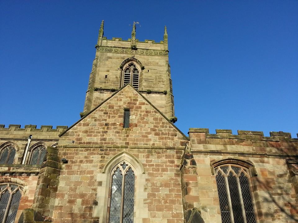
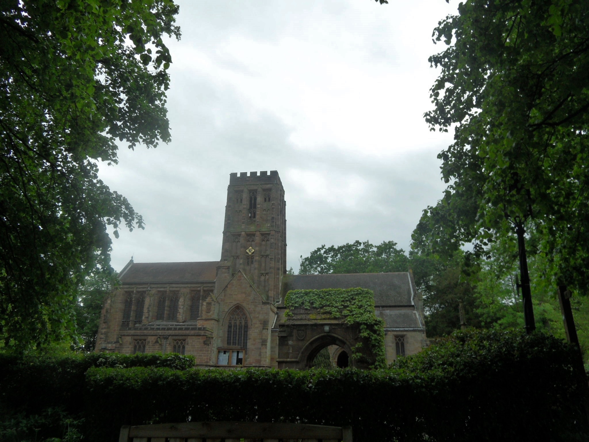
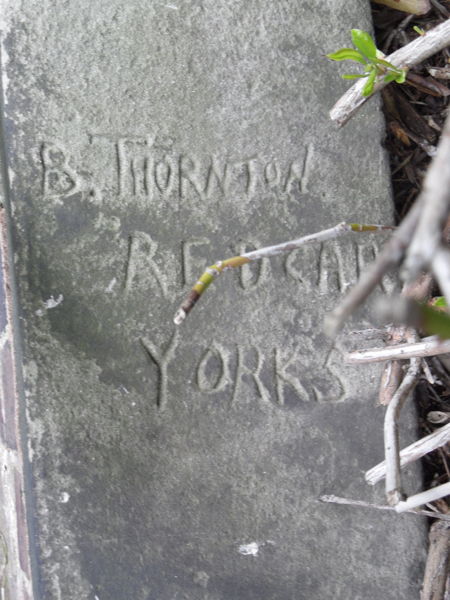
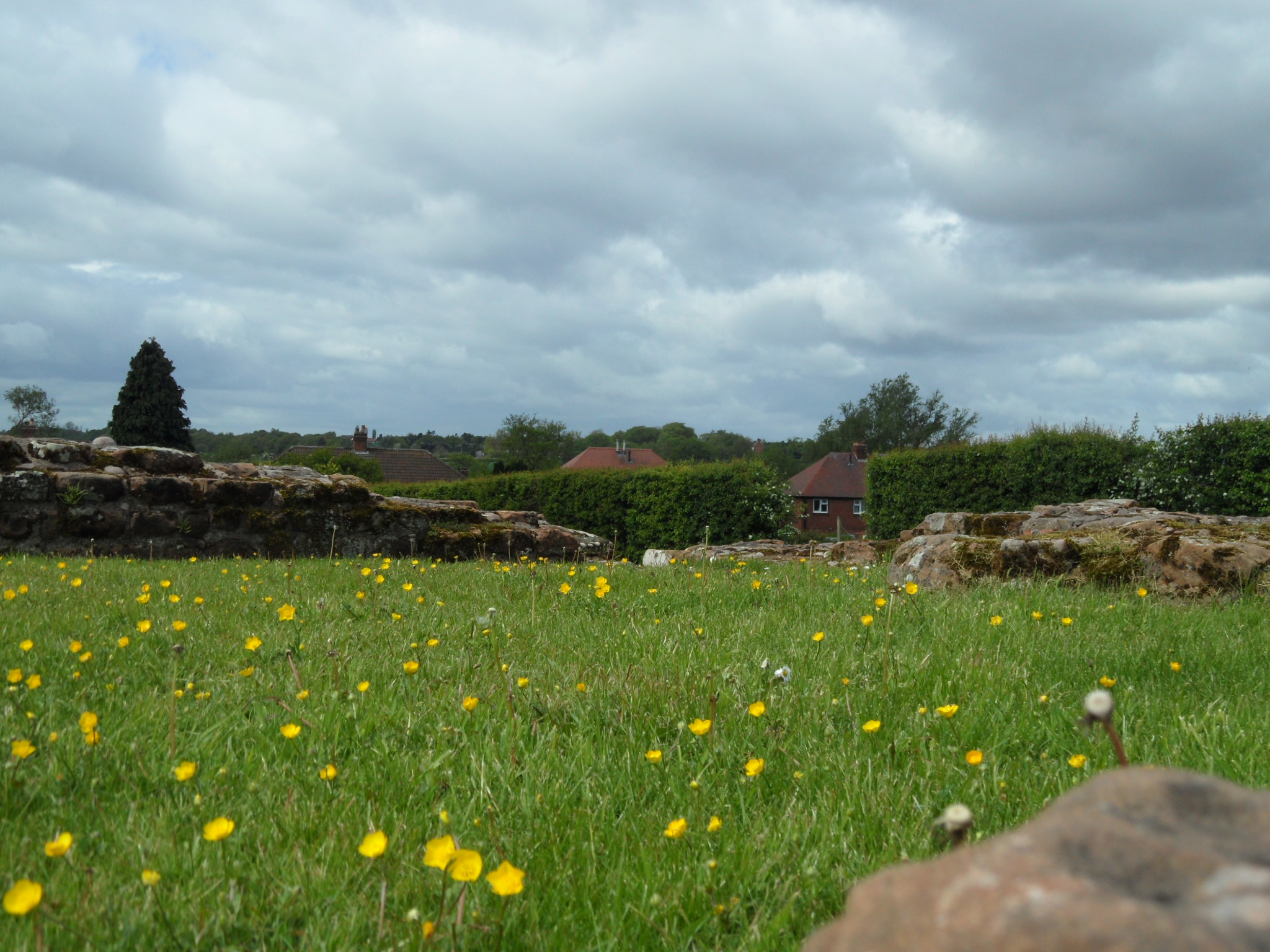
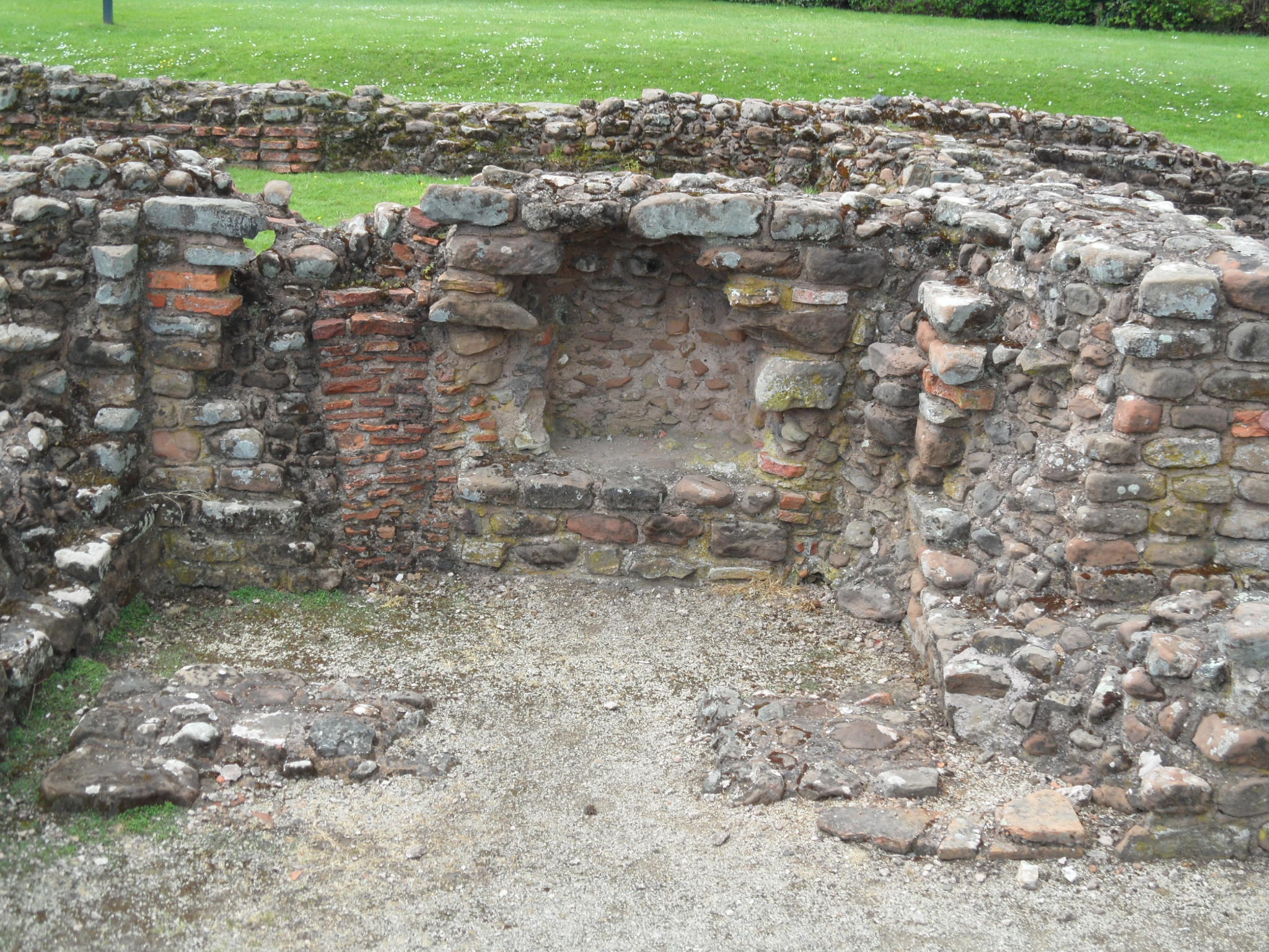
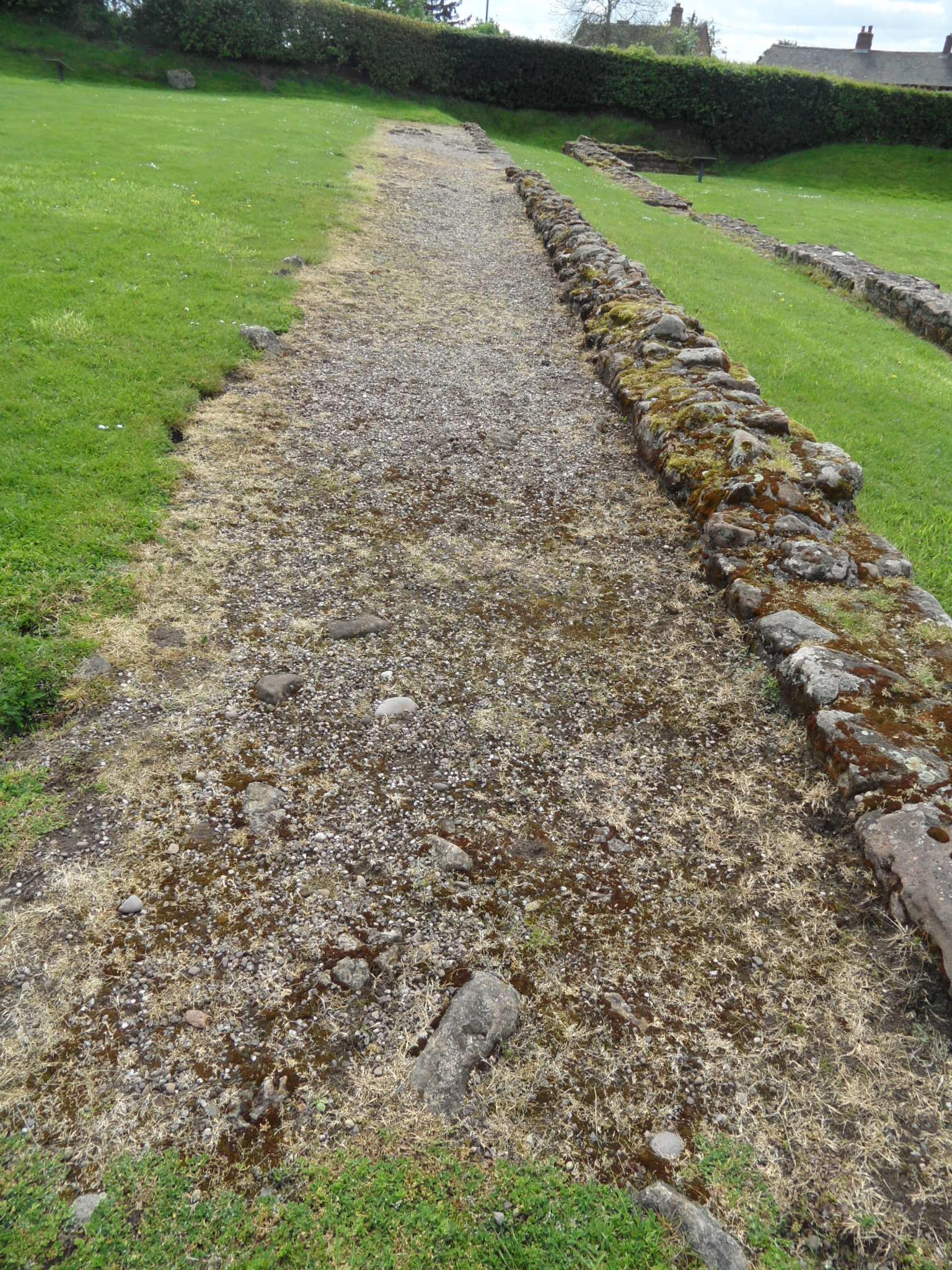
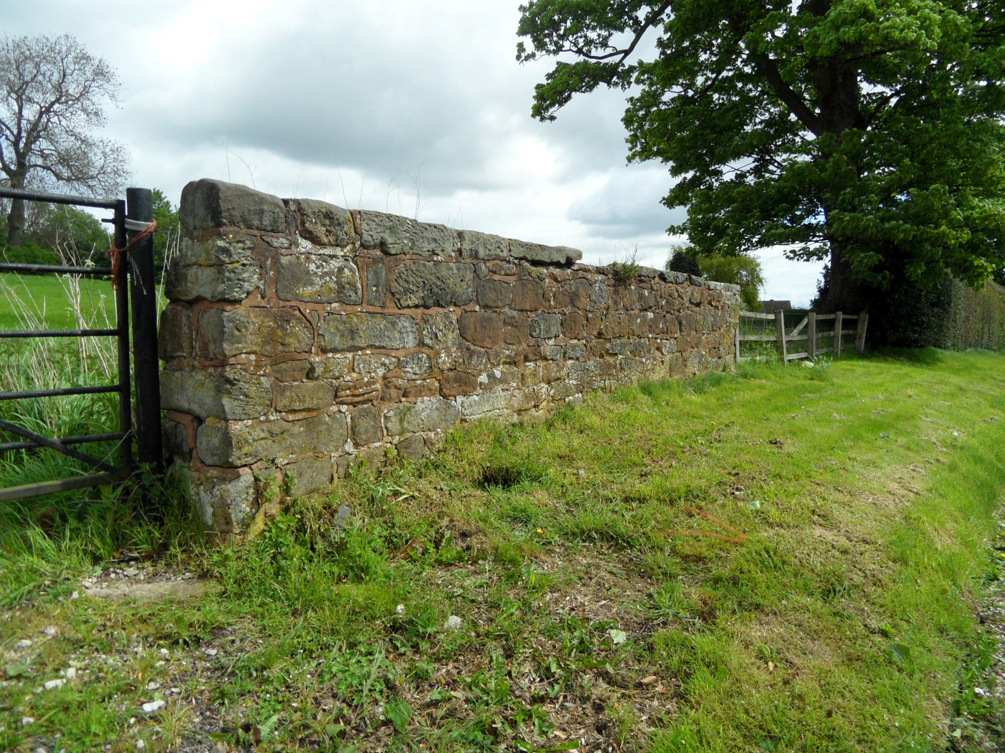
One of the chief contenders is Mancetter, on the outskirts of Atherstone, or Manduessedum as it was known in Boudica’s time. If it is ever proved, then they ought to consider changing the name to ‘Womancetter’ but I think we are going to have to defile that thought away for now.
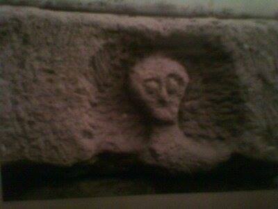
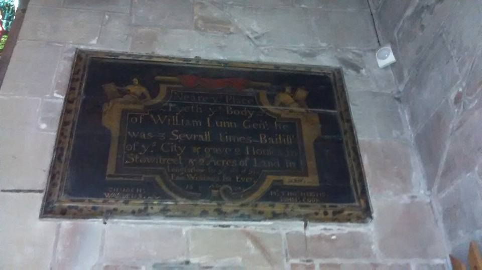
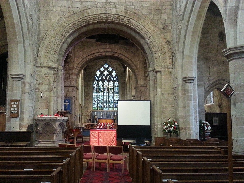
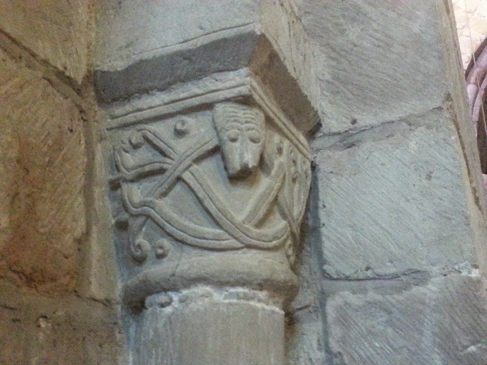
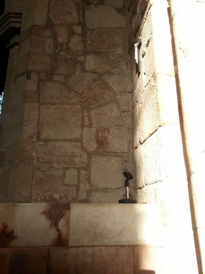
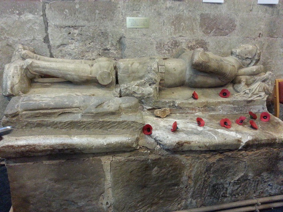
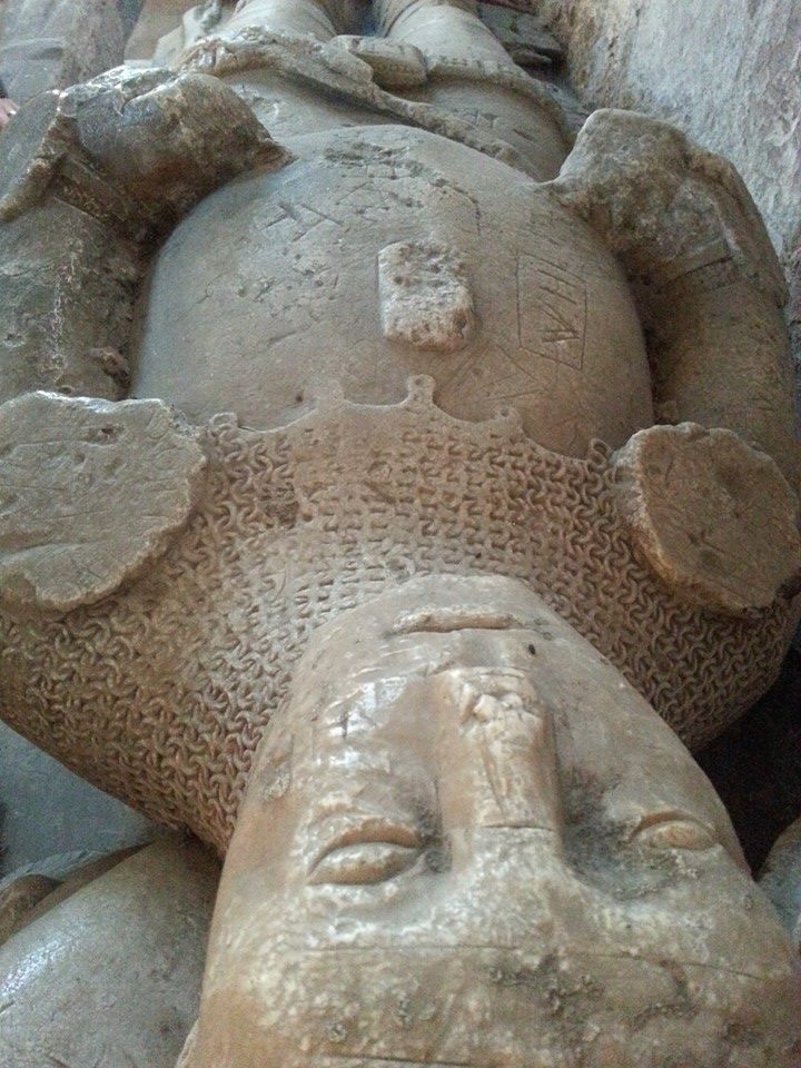
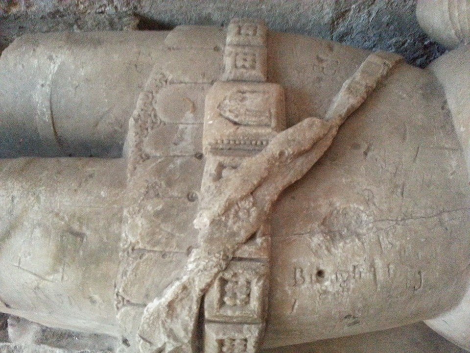
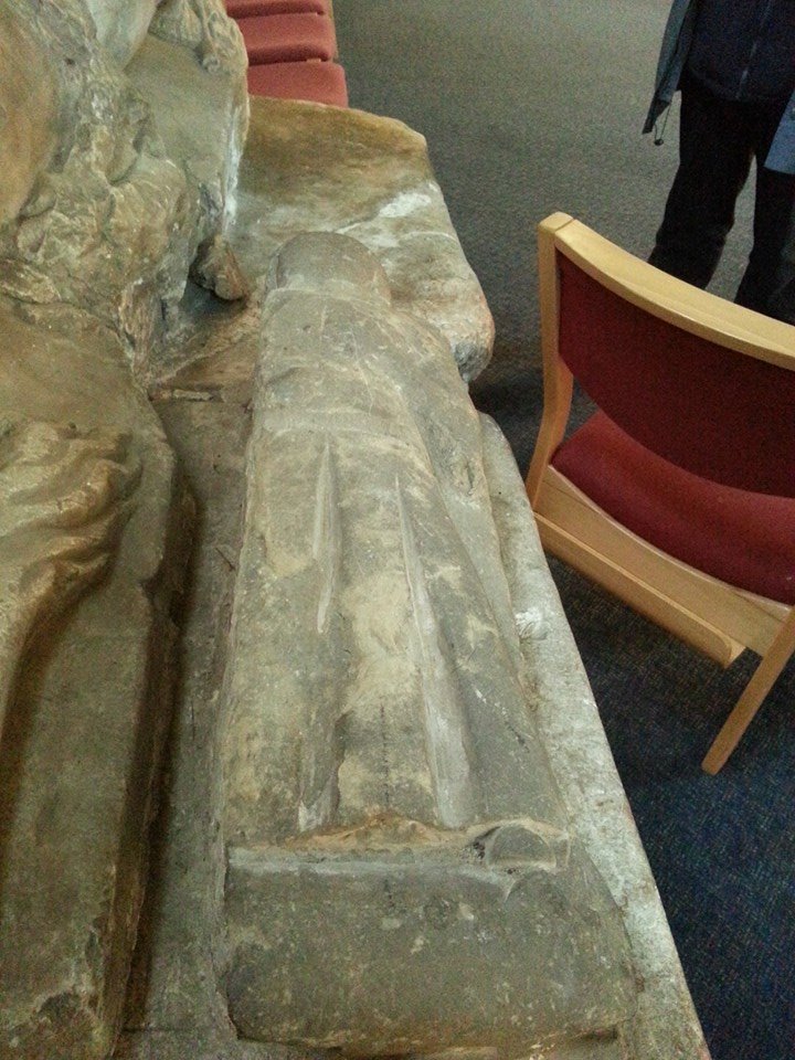
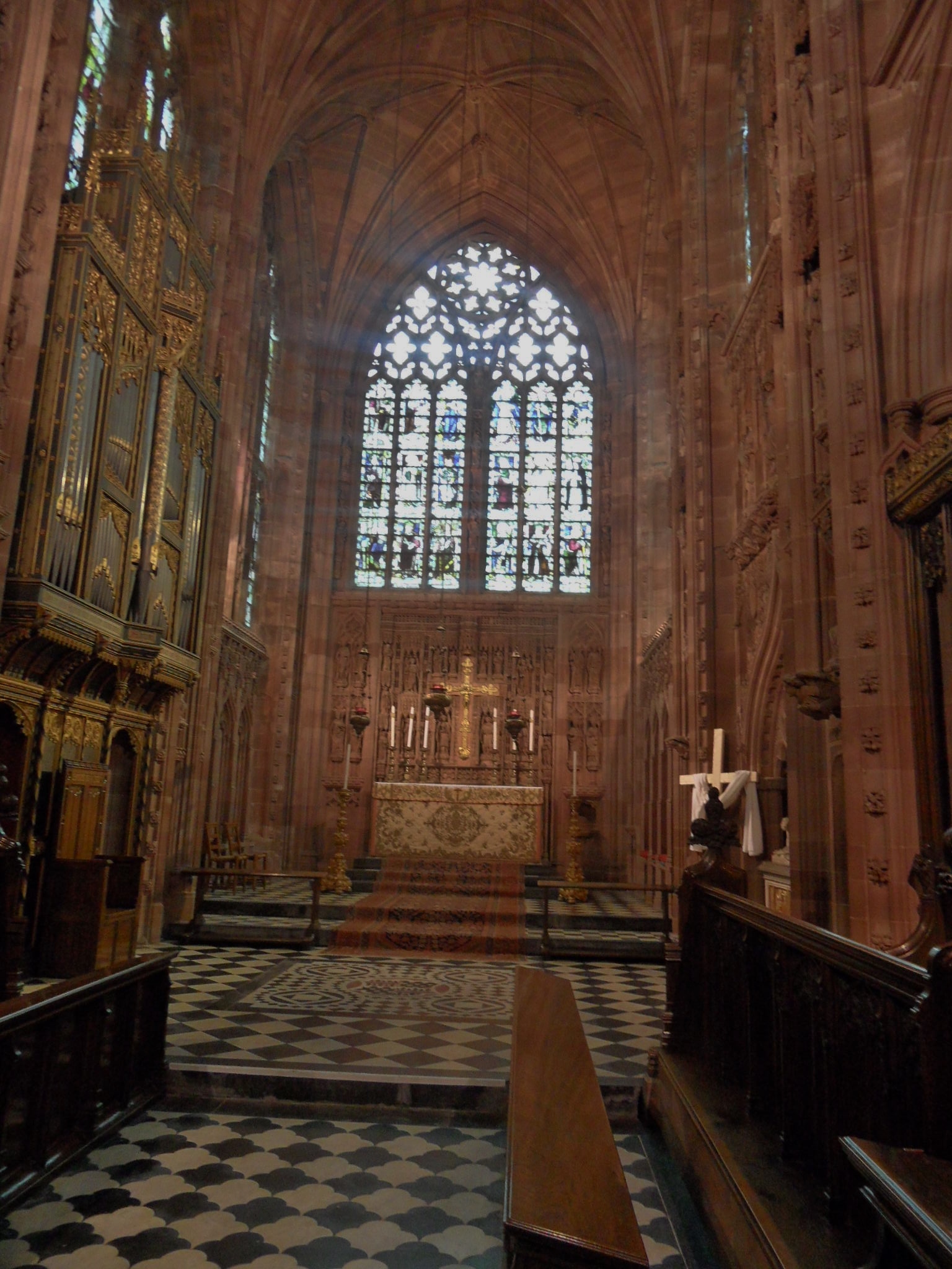
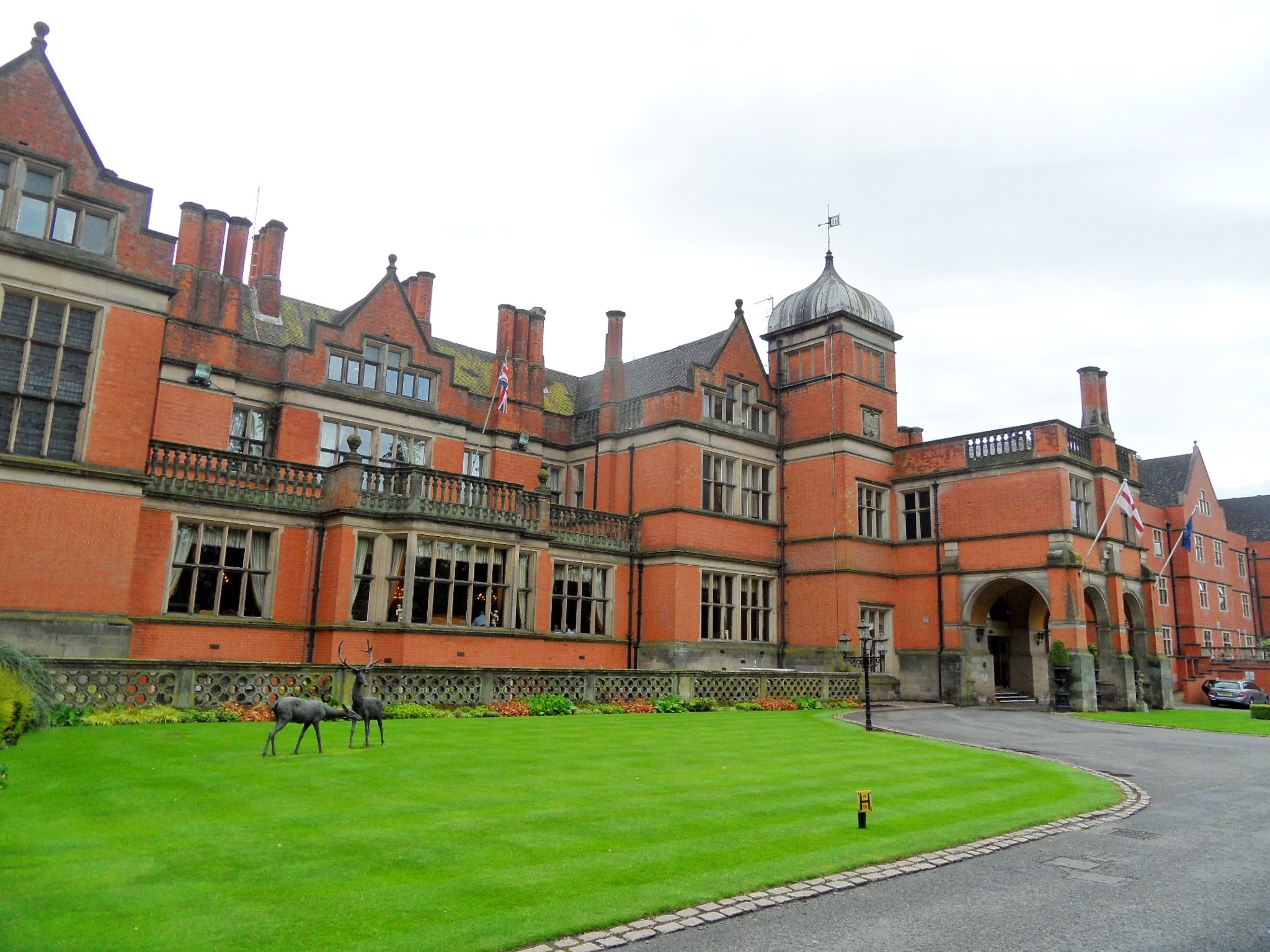
What we do have archaeological evidence of at Mancetter is a Roman fort, now occupied by the site of the church and manor house. As we stood nosing in at the gate of the latter, the gardener appeared and told us it dated back to the fourteenth century and had a priest hide and a secret tunnel leading to the church. Despite my enthusiasm for stories of this kind, experience tells me these architectural features often turn out to be a cupboard or a cellar. In this case however, it seems he may not have been leading us up the garden path. Well not entirely. According to the Atherstone News and Herald in June 1956, in what’s now known as the ‘Martyr’s Bedroom’, an escape route led to the roof via a sliding panel in, ahem, a cupboard

The manor was the home of the Protestant Glover brothers John, William and Robert. In 1555, the Bishop of Lichfield issued a warrant for their arrest but by the time the Mayor of Coventry arrived with men to carry out the orders two of the trio had escaped. Robert had been unable to flee as he was ill and was taken from his sick bed to Coventry and then to Lichfield where he dined at the Swan before being removed to a cell alongside a dungeon. I suspect this would have been the ‘church prison’, as described by Thomas Harwood which seems to have been underneath what’s now Number One, The Close, rather than the gaol at the Guildhall.
Robert Glover was burned at the stake in Coventry on 19th September 1555. His brother John eluded capture but died of an ague after living in the woods for some months. The Biishop’s Chancellor, Anthony Draycot was not about to let the whole business of him being a protestant lie though, informing the vicar that his body should be dug up and thrown over the churchyard wall. When the vicar pointed out that after six weeks the body stank and finding men willing to undertake the task would be tricky, Draycot instead ordered him to wait for 12 months and then throw the skeleton over the wall into the public highway. The third brother William also suffered post-death disgrace being refused a Christian burial in the town of Wem in Shropshire, his corpse instead being dragged by horses to a nearby field and buried there in unhallowed ground. Just in case a priest hole and secret tunnel haven’t given you your fill of folklore, you should know that Robert Glover’s ghost haunts the room from which he was taken.
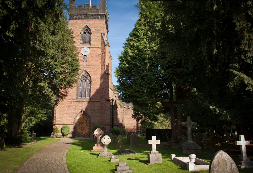
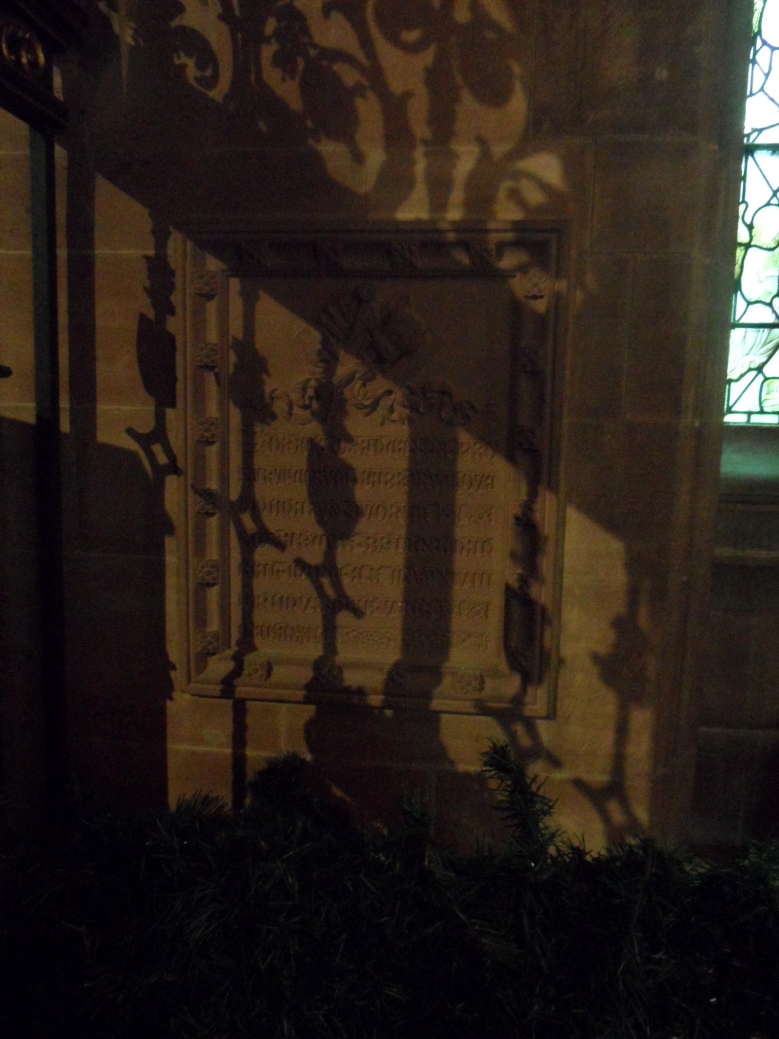
Next door to the Glovers lived another Mancetter martyr, Joyce Lewis, who was burned at the stake in Lichfield on 18th December 1557. Despite a plaque in the Market Square recording this dark chapter of the city’s history I knew very little of her story until now. It seems Joyce fought to the death to defend her beliefs, asking the friends who visited her in prison how she might behave so, ‘her death might be more glorious to the name of God, comfortable to his people, and also most discomfortable unto the enemies of God’. The night before her execution she refused the offer of two priests to hear her confession and after fainting on route to the Market Square and being given a cup of water, she used it to drink to ‘the abolishment of papistry’. According to Foxe’s Book of Martyrs, ‘a great number, specially the women of that town, did drink with her; which afterward were put to open penance in the church by the cruel papists, for drinking with her’. I believe open penance would have been some sort of public punishment.
I may not have found the site of Boudica’s battleground on my journey up the A5 but it did lead me to the story of Joyce Lewis’s last stand much closer to home and how her final moments were spent surrounded by the solidarity of the women of Lichfield.
Sources:
https://ancientmonuments.uk/103961-roman-camp-mancetter
http://atherstonecivicsociety.co.uk/projectrm
https://www.archaeology.org/issues/95-1307/features/1090-boudicca-celtic-roman-empire-kings-cross
https://www.english-heritage.org.uk/visit/places/wall-roman-site/history/
https://www.patrickcomerford.com/2020_05_16_archive.html
Martyrologia, John Sundins Stamp
London Archaeologist Spring 2004, Boudica – yet again, Jim Gould