Mucky Business

Muckley Corner is my least favourite place to be at 7am on a weekday morning. Thankfully I now have a few weeks off from trying to negotiate this unholy island and some time to take a look at its history.
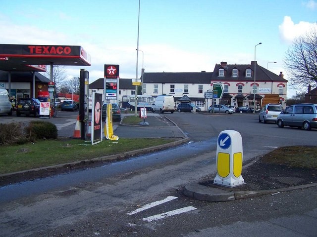
The highway to hell c2008 Geoff Pick / Muckley Corner / CC BY-SA 2.0

I already had several questions in mind about Muckley, ranging from the pedestrian, ‘When did the corner actually become a roundabout?’ to the less prosaic, ‘Was there once an ancient burial mound here?’. However, during the course of my corner-based investigations, another question has also emerged. There is a reference to Richard Key’s Coach and Horses at Muckley Corner in the Birmingham Gazette in 1766. The reference relates to an incident when some butchers accidentally left behind a heifer after visiting Fazeley Fair. The question here is not how the heck do you forget you brought a cow to the pub and neither is it were the butchers ever reunited with their bovine? It’s actually was the Coach and Horses mentioned a predecessor of the Muckley Corner House Inn? Records held at the Staffordshire History Centre show it was called the New Inn, then Muckley House, and later Muckley Corner House and there’s a hint that a drinking establishment was in existence here in the mid- seventeenth century. Katherine Reeves, the wife of Humphrey Reeves, was to appear at the Lichfield Quarter Sessions in January 1642, and in the meantime, keep the peace towards Anne Bull of Pipehill. Humphrey is listed as a victualler which suggests he may have been an innkeeper.

A further name change saw it called ‘The Olde Corner House Hotel’ in its final years and I can vaguely remember the place being open when I first moved to Lichfield back in 2004 and being an Italian restaurant for a while. Thankfully we do not need to rely solely on my murky memories as my old mucka, the legendary Brownhills Bob, documented the establishment’s demise on his blog. It closed in Summer 2009 and is now residential properties and apparently the HQ of Planet Ice. I’m not quite sure what in the Torvil and Dean that’s all about.

There’s a sad story relating to how the replacement of stagecoaches by steam engines displaced some people in February 1864. John Brooks, described as a former driver of the Chester Mail until it was driven off the road, was charged by PC John Hobbs with being found in a hovel in Burntwood and resisting the police. Whilst in custody on the road, Brooks said he could not and would not walk without something to drink. Hobbs took him into a pub and bought him a pint of beer. The magistrates were reported to be sorry for the poor fellow having a good laugh at his broad tales about old times. Not sorry enough not to fine him 1s and costs however.

I’ve already mentioned a couple of cases but there is much more to be done about the links Muckley Corner has to the law because there seems to have been a police station there from the 1860s and in the 19th century century, petty sessions were held at the inn itself. There are even rumours of a lock-up to detain the miscreants of Muckley.

It’s a diversion too far for now though as I want to get back to my original questions. All I can find is out about the first though is that the island idea was first proposed in 1953 following a dreadful accident which saw thirteen people hospitalised but I can’t quite pin down the actual date when it was constructed. And as to whether there was once an ancient burial mound here? All I can present is some circumstantial evidence.

In The Midland Antiquarian edited by William Fowler Carter in 1882, it claims that, ‘In early deeds Muckley Corner is called Mucklow. It is situated on Watling Street where it is crossed by the main road from Walsall to Lichfield which was made about 150 years ago; the addition ‘Corner’ was then probably given to it. I think the derivation clearly – AS Mucel; ME mikel, mukel, mockel, great and low, a mound or tumulus – great mound. There is no tumulus to be seen, nor is there any record of one known to me, but many ancient lows have been carted away for agricultural purposes or for repairing. roads About 50 years ago Muckley Corner stood on the boundary of Cannock Chase, and the country to the south was open common’.
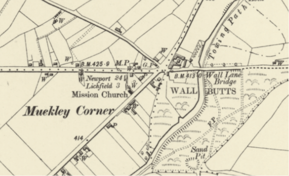
If etymology isn’t enough, then there are several other landmarks marked on old maps and in street names in the vicinity which give us a glimpse of an ancient landscape that is now mostly lost. I can’t prove there was a burial mound at Muckley Corner but I think I can prove there is the potential for there to have been one. The irony is you’re going to have come along and negotiate that unholy island with me so buckle up folks.

Sources

Aris’s Birmingham Gazette – Monday 03 November 1766.

Staffordshire Advertiser – Saturday 23 February 1811

Staffordshire Record Office document Q/SR/249/69
Stumped

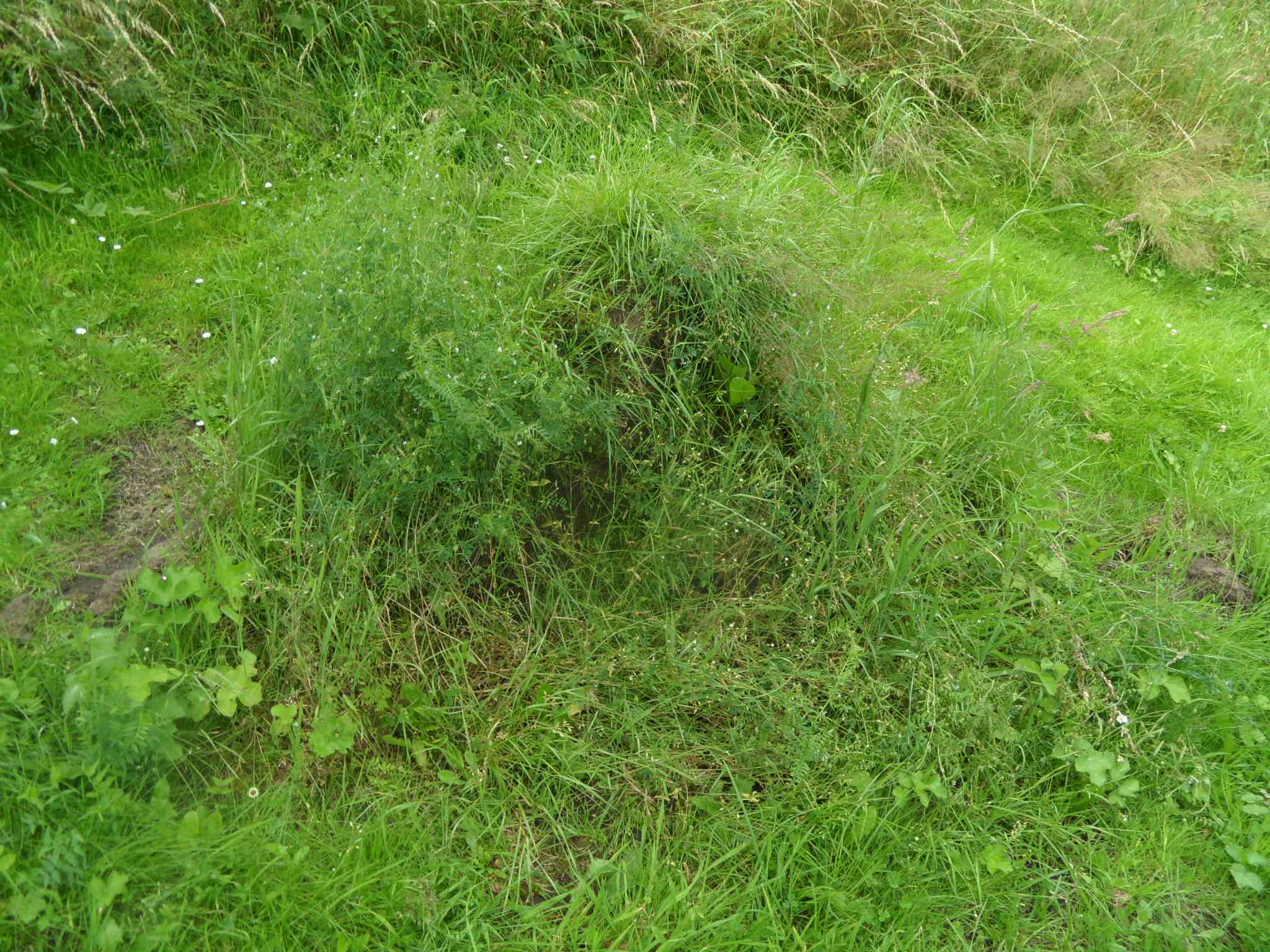
I had an email from Pat telling me there was a lump on the side of the A51, near to the junction with Abnalls Lane.  I assumed that it was an old tree stump, but Pat thinks it might be something more than that, and recalls seeing some stone there last year.

I went and had a closer look. Pat said in his comment on the Cross City post, the lump is covered in vegetation, but there is likely to be something solid underneath, as the grass is cut around it. I took a few photos and then the self -conciousness of being stood on a busy A-road taking photos of a grassy lump got the better of me and I headed back up Abnalls Lane.

So, does anyone else know anything about this, or do we just have to wait until the grass dies away in the Autumn to get a better look?!

In the meantime, it’s worth taking a trip up Abnalls Lane. In parts, it’s thought to be a holloway, and at times you’re surrounded by hedgerows, tree roots and sandstone, with carved names and dripping water.  It takes you past the site of one of Lichfield’s Scheduled Ancient Monuments – a moated site on the edge of Pipe Green and over the border into Burntwood.  It also passes nearby the site of Erasmus Darwin’s botanical garden, although unfortunately the site is not open to the public.

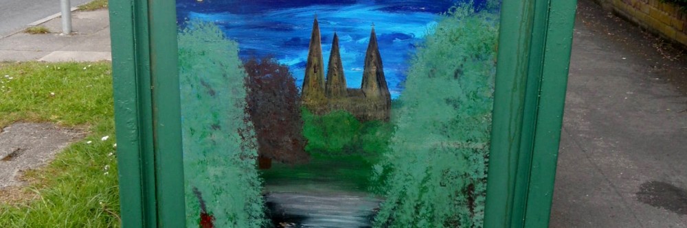
Spires of Lichfield from moated site at Abnalls Lane on the Lichfield/Burntwood Boundary

Interestingly, a section on Burntwood in the History of the County of  Stafford says that,

The road, now Abnalls Lane, was known as Pipe Lane at least between 1464 and 1683.  The point where it goes over the boundary was described in 1597 as ‘the place where the broken cross in Pipe Lane stood’; a ditch at Broken Cross was mentioned in 1467.

Is this one of the crosses already counted in Cross City, or a different one? 

Also, on the subject of research into stone things, at the end of Abnalls Lane, there are some interesting names – The Roche and Hobstonehill (according to the History of the County of Stafford, the placename ‘Hobbestone’ was mentioned in 1392).   

I think I need to spend my summer holidays at Lichfield Record Office.

Sources:

‘Townships: Burntwood’, A History of the County of Stafford: Volume 14: Lichfield (1990), pp. 195-205. URL: http://www.british-history.ac.uk/report.aspx?compid=42356  Date accessed: 27 July 2012.


Smoky Bacon

Why is Beacon St called Beacon St? Once upon a time it was known as Bacon St (or variations of this such as Bacunne). It’s suggested that at some point around the beginning of the 19thc, someone decided that Beacon St was a more fitting name.  It’s pure speculation on my part, but I wonder whether this name change had anything to do with the building of Beacon Place around 1800? The man who built the house was called George Hand. As there’s a cut of pork called ‘the Hand’, maybe he was keen to distance himself from all things porcine? As I said, mere speculation.

In books about Lichfield published at the beginning of the 1800s, both names are often given. One (1) gives the following description:-

Bacon or Beacon street anciently written Bakun or Bacun street, takes its name from a beacon placed upon the top of a tower which stood the Dean’s croft and adjoining field. It was the principal street of the town and was burnt down in 1646 at which time it was chiefly inhabited by cappers whose business was staple of the place

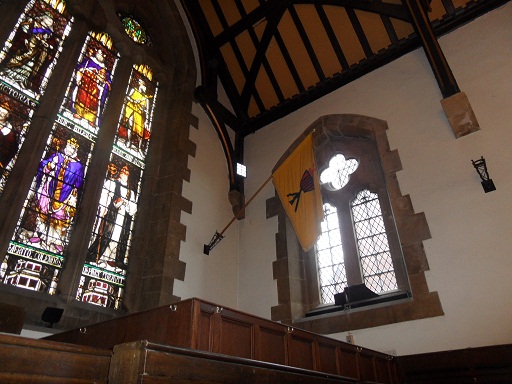
Beacon St Ward banner?

Is there any truth in this explanation? Or is a story, created to support the name change?  Is there any other evidence of an actual Beacon?  The above ward banner in the Guildhall surely relates to the Beacon St ward (although it’s another one where the name plaque is obscured). Alone it’s not evidence for the Beacon theory, although as I’ve mentioned before, I would be interested to see when/where the designs for these banners came from. There is a place in Lichfield called Dean’s Croft, but it’s near St Michaels, not Beacon St.

Thomas Harwood’s book (2) throws another explanation into the ring.

It is probable from the situation of Bacon street that name is an abbreviation from Barbican or Barbacane a word of Arabic original (sic). A barbacan is a sort of hold or fort for the security of the a munition placed in the front of a castle or an outwork.

In 1886, the William Salt Archaeology Society noted (3)’The present spelling of the name of this street is altogether unauthorised, and an innovation of this century. It is found spelt Bacon, Bacun, or Bacune uninterruptedly from the 13th to the 18th century’.

Likewise, I’m not convinced by the Beacon or Barbican theory….yet. As ever, would like to know what others think. I wonder what the good people of the Bacon Beacon Street Blog, think?

Edit 15/7/2012

Referring to the Beacon St area, the Collections for a History of Staffordshire Part II- Vol VI (1886) record that there is a reference to a Bacone’s Cross, along with a Swane Lane (now Shaw), Merliches Well, Poole Hall and Whitehall that I missed before.

Sources:

(1)A short account of the city and close of Lichfield by Thomas George Lomax, John Chappel Woodhouse, William Newling

(2) The history and antiquities of the church and city of Lichfield by Thomas Harwood

(3) Collections for a History of Staffordshire Part II- Vol VI (1886)