I’d heard from enigmatic Lichfield news satirist Five Spires Live that there was a waterfall near to the newly re-opened Horns Inn in Slitting Mill. When I read that there were also several boundary stones nearby, I raced from the hole I call home* to have a look.
I understand that the waterfall isn’t a natural force but the remnants of an industry reflected in the village’s name and in the surrounding waters. Horns Pool (sometimes known as Dutton’s Pool) behind the pub was a mill pond for what is thought to have been the first slitting mill in the Midlands, dating back to the 1620s. Iron arriving here from forges in North Staffordshire was split into rods using the power of water. Between 1694 and 1710, ironmongers from the Midlands brought around an average of 600 tons of iron rod each a year. I wonder if any found its way to Burntwood where I found the nailers’ stones in the churchyard?
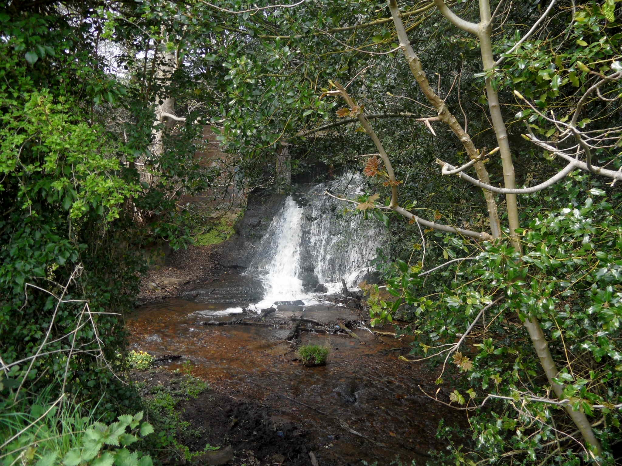
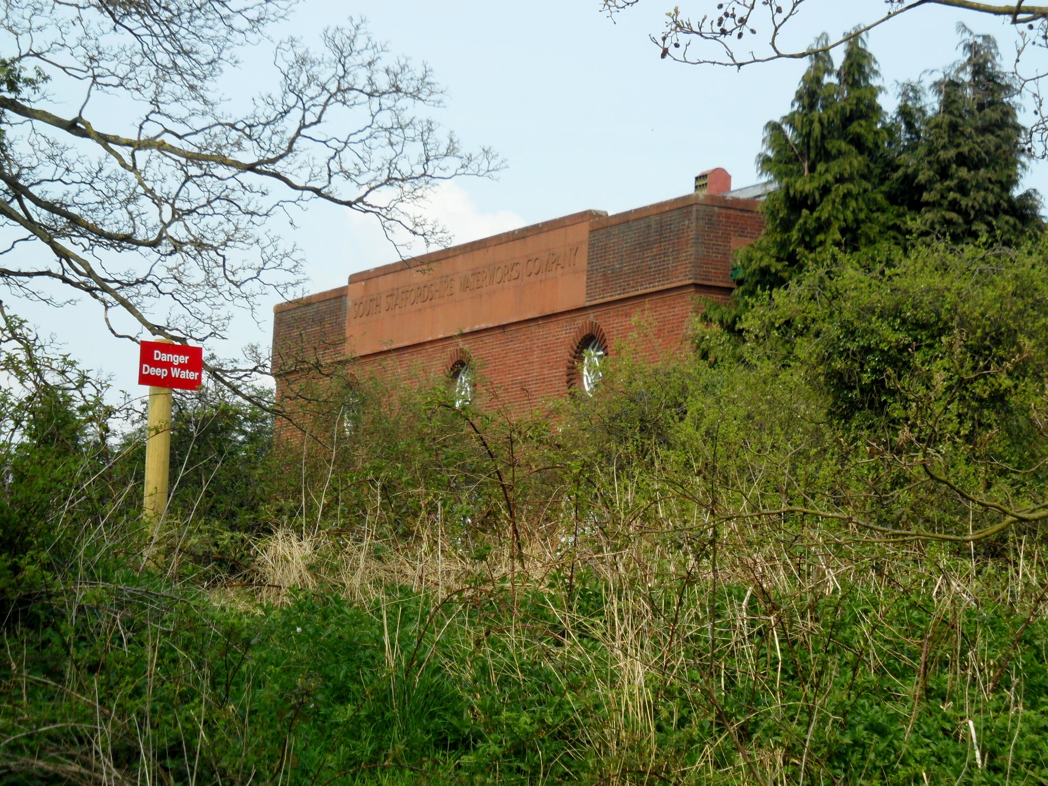
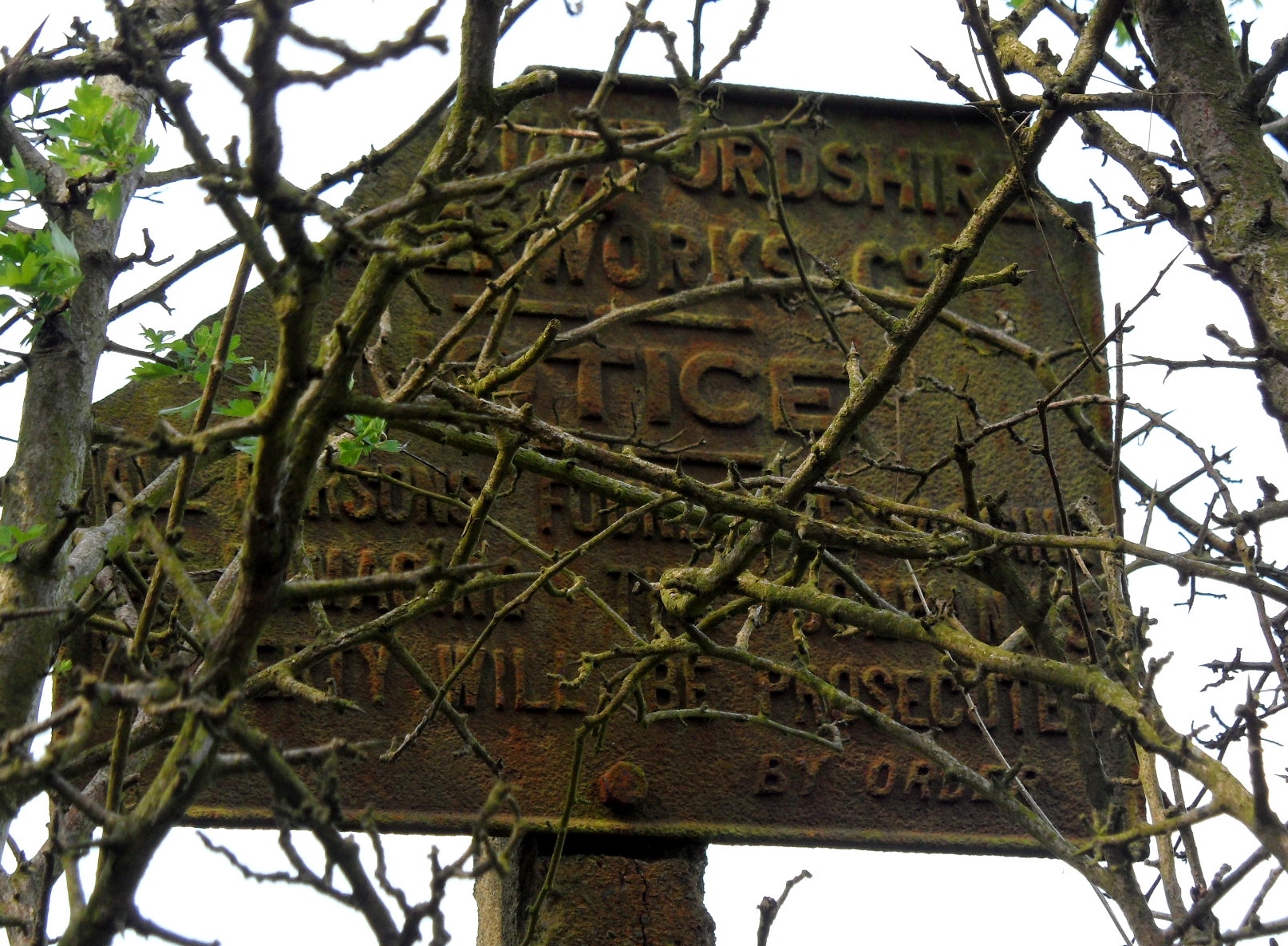
Other than the pool, and the sluice gates along Rising Brook, no other traces of the mill are thought to remain. I understand that it was pulled down to make way for the South Staffordshire Waterworks electrically operated pumping station, built in 1932. There’s an interesting story about the demolition of the mill – the British Numismatic Society Journal notes that, “An uncertain number of coins, said in one report to date from the seventeenth century, and in another to be of both that and the following century were found ‘in the walls’ of the Old Mill House when it was pulled down to make way for a new pumping station for the South Staffs Waterworks Company. It is not absolutely certain that these constituted a hoard; they may have been a number of stray coins.”
According to the information board which appears alongside the brook (part of the Cannock Chase Heritage trail), there was also a cottage on the site. The last inhabitants were Mary Sant and her husband, a blacksmith, who lived there until the cottage was demolished in the 1930s, around the same time that the pumping station was built.. The part of the brook which ran past their home became known as Sant’s Brook, and you can see a photograph of Mary outside the cottage here.
I’ve been reading for two hours now and information on exactly how many mills were along the brook seems a little hazy (to me at least!). Archaeological investigations continue to try and establish more information about the extent of the industry here. You can read about the latest discoveries made near to Horns Pool by the Stoke on Trent Museum Archaeology Society in May 2011 here.

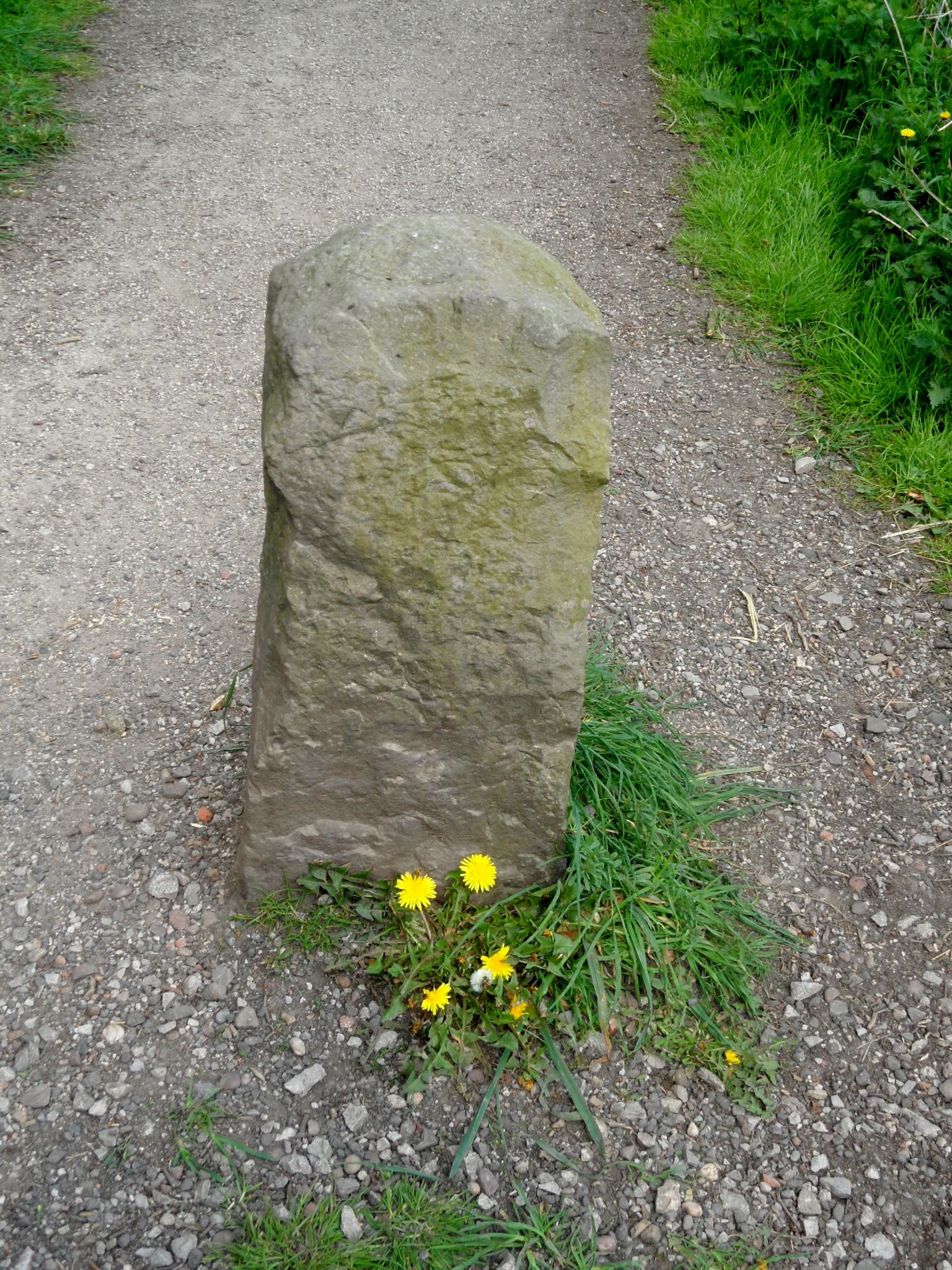
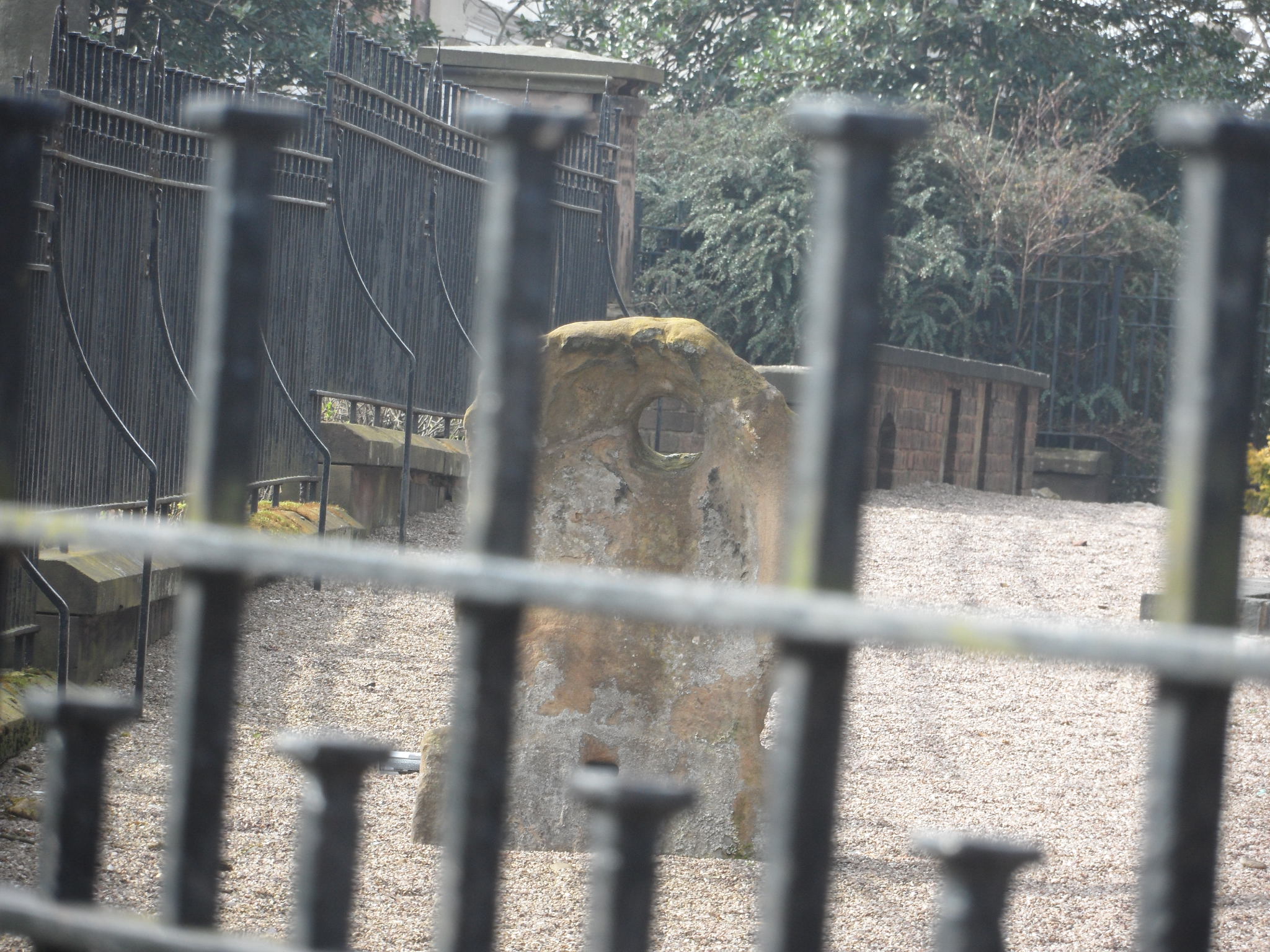
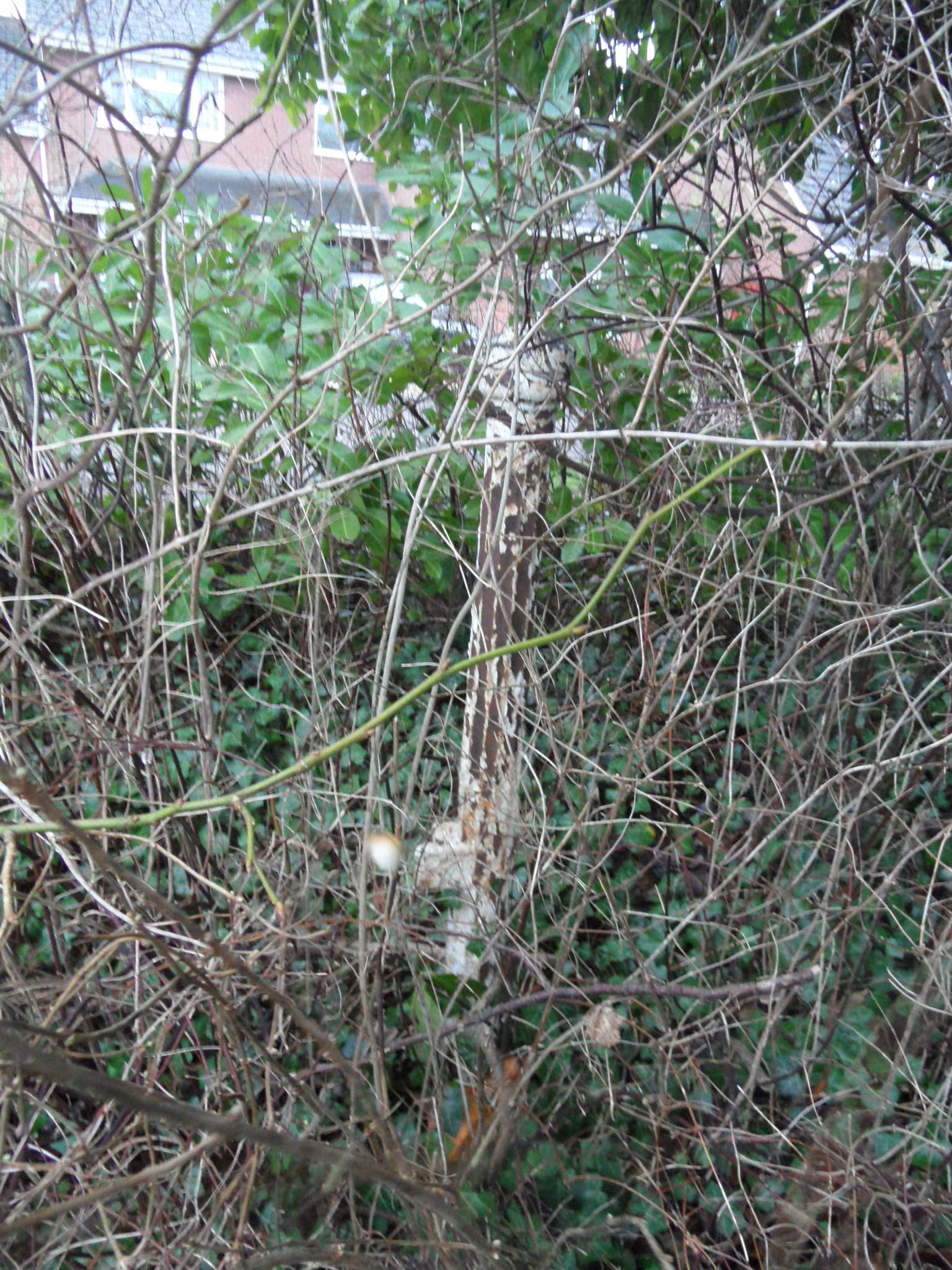
There are three boundary stones that I could see – a pair either side of the brook behind Horns Pool, and nearby, another on the path. Thought to date from the late eighteenth or early nineteenth century they are made from local stone. None of them have any kind of markings or lettering, and the pair on the brook are facing different ways. Together with the brook, they appear to mark a border of some sort but according to their listed building description don’t appear on any maps. Curious.
I’m even more curious about why a bridge over the stream as it flows towards Rugeley is called Father Cannock Bridge on maps. Where does this name come from?
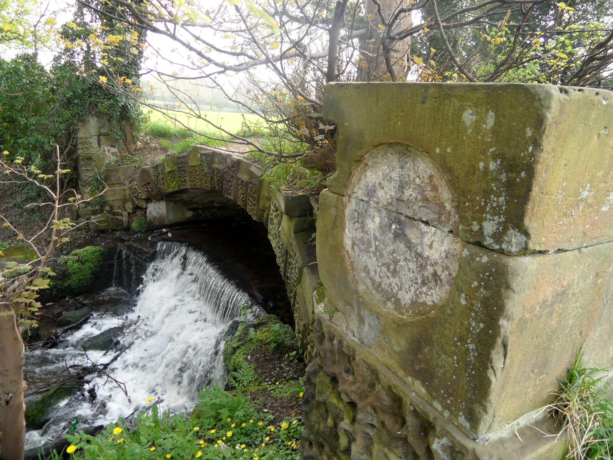
Is this Father Cannock Bridge? Where does the name come from?

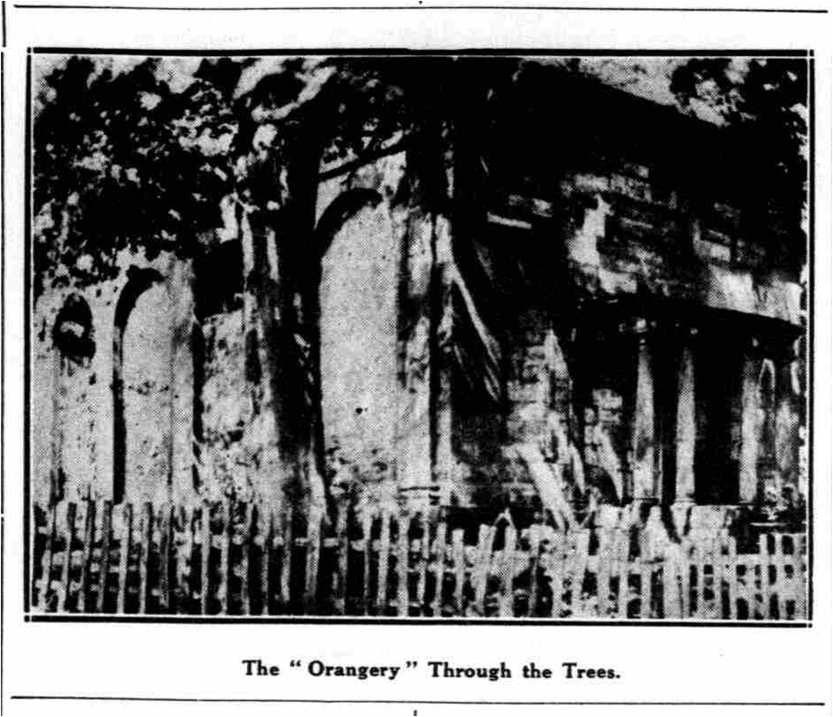
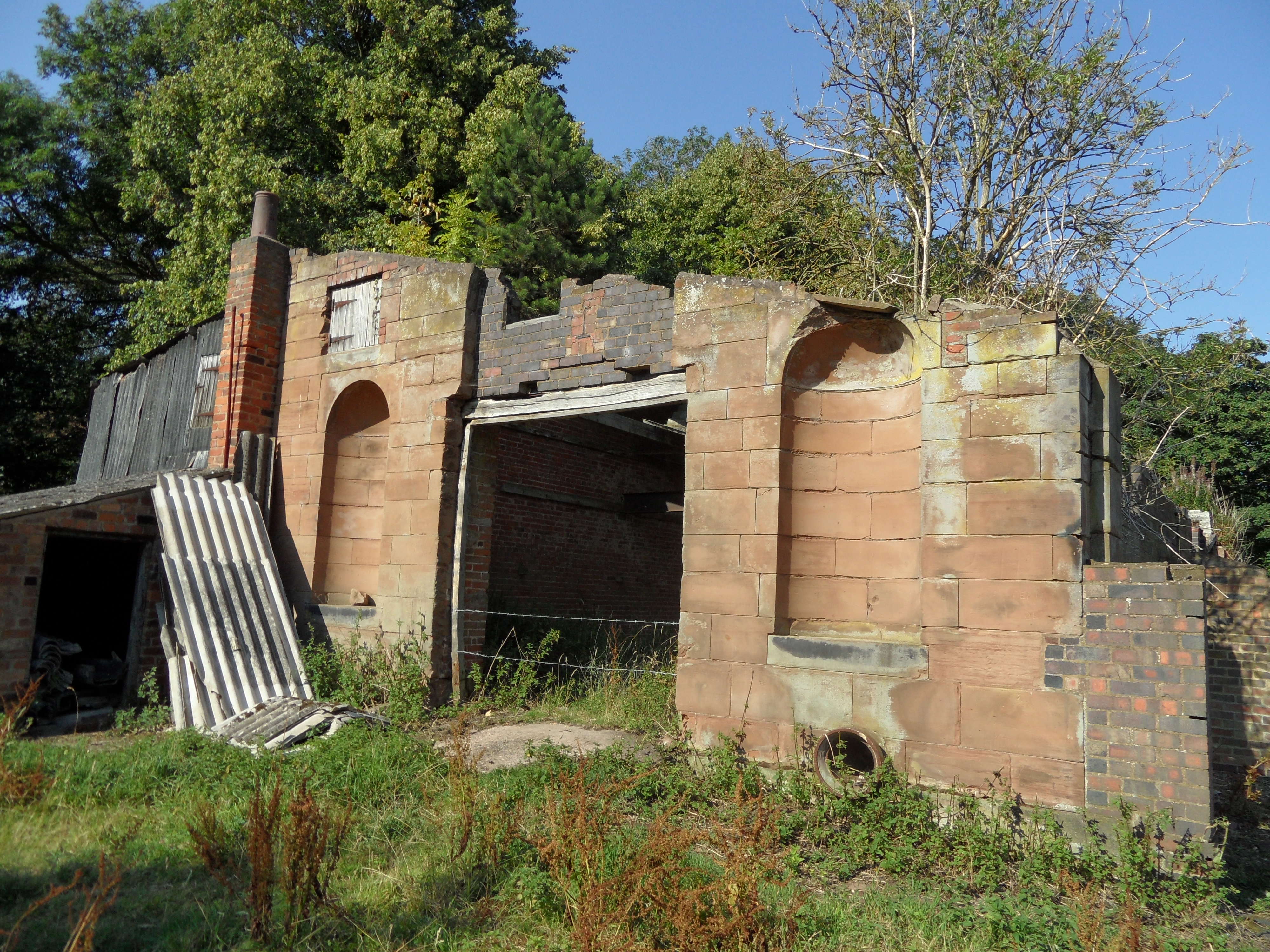
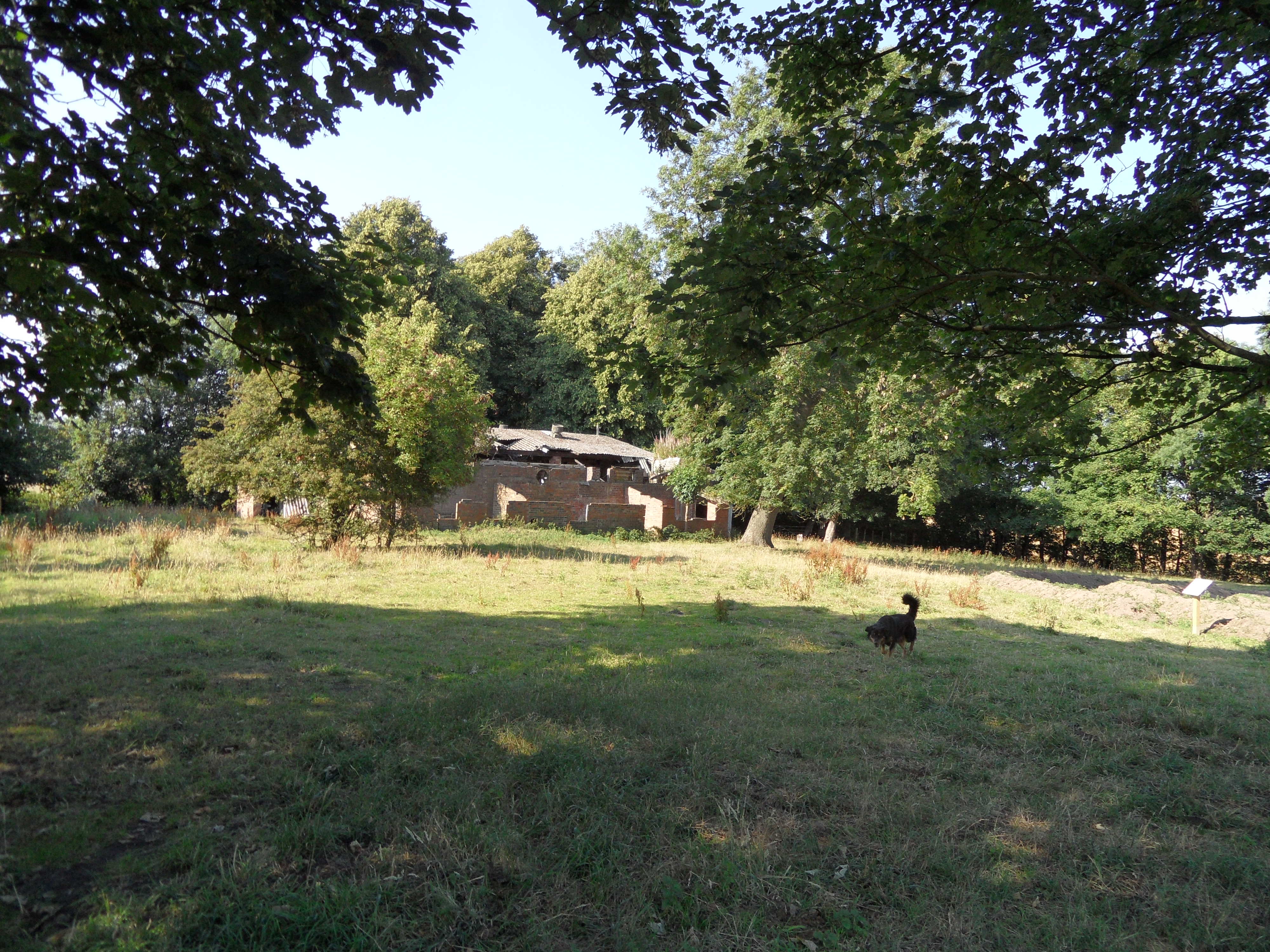
Whether this is Father Cannock bridge or not, its ornamental nature makes me wonder whether it’s a leftover relic from the days when this area was part of the Hagley Hall estate. Few traces of the estate remain today. I believe the hall itself was demolished in the 1980s. However, a little further downstream there is one remarkable feature which has survived and you’d never even know it was there, until you looked a little deeper…

*It’s a bit messy as we’re having a carpet fitted.
Sources:
http://www.britishlistedbuildings.co.uk/en-431001-boundary-stone-at-grid-reference-sk-0271/osmap
Click to access cannockchasedistricthea-appendix3-rugeleyareaheczassessments.pdf
The British Numismatic Journal: Including the Proceedings of the British Numismatic Society, Volume 40
Masters and Men: In the West Midland Metalware Trades Before the Industrial Revolution by Marie B Rowlands