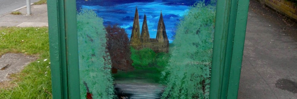
Under the Bridge

It might not have rained on St Swithin’s day here in Lichfield but water was still the theme this weekend. On Saturday, I was supposed to be at the Festival of History at Kelmarsh in Northamptonshire. However, it seems that nature wanted to get involved in the reenactment of history too and successfully managed to put the marsh back into Kelmarsh. Maybe Dr Rawson was right when he warned “Drive nature out as you will, and she will come back”!

Here in Lichfield, I’ve read that marshy land was known as ‘moggs’ and that the Museum Gardens were once known as Swan Moggs or the Bishop’s Fish Pool.  You can see an artist’s impression from 1848 of the scene in 1548 here.

A causeway was built to separate the Moggs from from Minster Pool in the early 1300s, and the road became known as Newebrugge St, later Brugge St and eventually Bird St. According to Rawson, the original bridge was widened by 5 foot in 1768. It was replaced by a new bridge in 1816, but I was quite excited to see that the listed building description  says that the remains of the old bridge could still be below the water of Minster Pool. Has anyone anyone ever been down there to have a look, I wonder? I’m probably not quite excited enough to hire a wetsuit and go looking for it, but you never know!
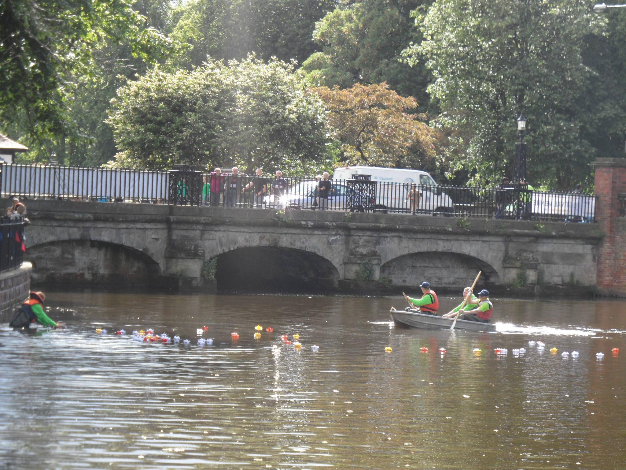
Adding Olympic Flames to the waters of Minster Pool, near the Causeway Brige

It seems that other interesting discoveries have been made near the site of the bridge. According to the Pastscape record, during the 19th century there was a malthouse on the causeway and in 1802, when they were digging a well they discovered a roman goblet called a cyathus and fragments of several human remains. How did they come to be there?

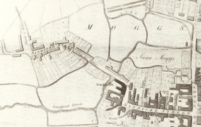
Once again, it’s worth taking a look at John Snape’s 1781 map of Lichfield as it show the extent of the Moggs at that time.
While we’re at it, here’s John Speed’s 1610 map again as well!
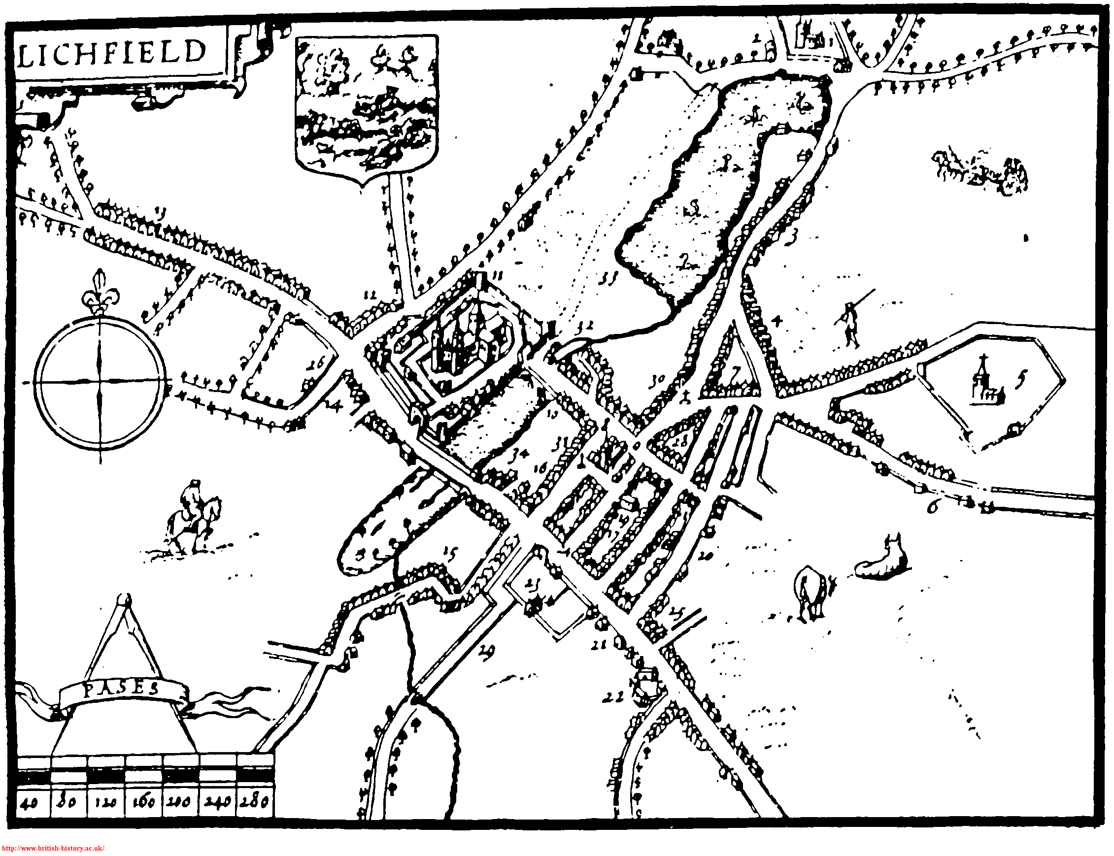
1610 map of Lichfield

As you might expect, the Bird St ward banner features the Causeway.
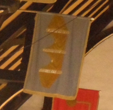
Something I’m especially interested in relating to all this are the references I’ve seen to a well in the vicinity. So far, I’ve seen it called Merelynswele, Merliche Well and Maudlin’s Well and various sources seem to place it adjoining the Bishop’s Fish Pool, and accessible from Shaw Lane.

View down Shaw Lane, off Beacon St

I might be wrong but is the original name made up of three watery elements i.e. Mere-lyns-wele with mere as in Windemere, lyn deriving from the celtic word for for lake and of course wele for well?

The name of the well seems to have changed over the years.  For example, John Jackson suggested that the well became known as Maudlin’s as, ‘Tradition says some person having enjoyed his bottle rather too freely tumbled into this well which has since been distinguished by its present epithet Maudlin signifying a state of inebriation. It is clearly however an abbreviation of Magdalen’s’. Dr Rawson referred to it as Merliche, the pool-marsh well.

What I really need to do is to get down to the record office to have a look at the plan of Maudlins Well and Dean’s Croft that they I’ve just found out that they have. Wait, Dean’s Croft? That sound’s familiar….. Might wait until it stops raining AGAIN though 😦

Sources:

(1) An inquiry into the history and influence of the Lichfield waters by Rawson 1840

(2) A short account of the city and close of Lichfield by Thomas George Lomax, John Chappel Woodhouse, William Newling

History & Antiquities of the Church & city of Lichfield by Thomas Harwood

Collections for a History of Staffordshire Part II- Vol VI (1886)

History of the City and Cathedral of Lichfield by John Jackson

A History of the County of Stafford Vol 14: Lichfield edited by MW Greenslade
 

Bell-ow the Water

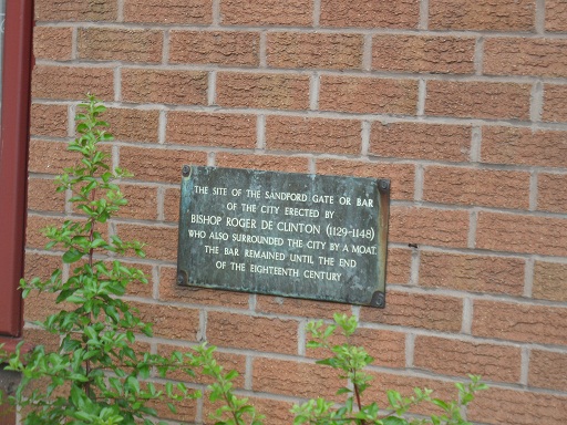
Water is in abundance at the moment, so Sandford Street seems quite an appropriate topic.   The street was once split into two parts -Sandford St and Sandford St, below the water. I believe that the latter is now known as Lower Sandford St, lay outside the city gate, and was once the main road to Walsall.

This plaque is near to the traffic lights on Swan Rd (confusing!) & the corner of Lower Sandford St


Hopefully, this will make more sense in conjunction with John Snape’s 1781 map.

John Snape 1781 map, taken from wikipedia

I’ve only just found out that around the same time as this map was made, an artist called John Glover painted a view of  Lichfield Cathedral from Sandford St. It’s in the Samuel Johnson Birthplace Museum and can be seen here.

The water in question seems to be Trunkfield Brook (formerly Sandford Brook) which still flows, with varying success, through the Festival Gardens. It’s thought that the name Sandford (earlier Sondeforde) might relate to a crossing over the brook, near to the gate. Apparently, a bridge was built there around 1520. I wonder if the brook was bigger in the past, as I’m pretty sure even I could jump over it. Almost.

Trunkfield Brook, often more mud than water.


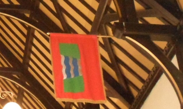
In view of the above, I think that the symbol on the Sandford St below the water ward banner, as shown below, is pretty self explanatory.

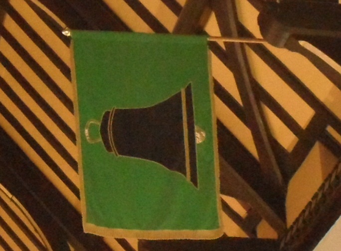
More of a challenge to decipher is the banner for the other part of Sandford St (i.e the bit within the city). Why did they choose to represent this with a bell?

In the absence of anything I can find that links this part of Lichfield specifically to bells, so far all that I can think of is that it might relate to the iron & brass foundry set up in Sandford St in 1879. On an 1884 town plan, it’s shown behind the Queen’s Head. Although it was set up by a Yoxall based firm called Perkins & Sons, Tuke & Bell, who already had a foundry on Beacon St bought it in 1923 and renamed it the Lichfield Foundry Ltd. The Sandford Street works lasted right up until 1983, so there must be plenty who remember it, or even worked there.

On a street somewhere in Lichfield. I’ll be honest, I forgot to note down which one!

So, does this explain the bell? If so, it’s interesting that the foundry wasn’t in existence until 1879, and so the design on the ward banner is unlikely to date to before then. If not…..???

Sources:

‘Lichfield: Economic history’, A History of the County of Stafford: Volume 14: Lichfield (1990), pp. 109-131. URL: http://www.british-history.ac.uk/report.aspx?compid=42349&strquery=sand  Date accessed: 07 July 2012.

A short account of the city and close of Lichfield by Thomas George Lomax, John Chappel Woodhouse, William Newling

Pay Days

“Nothing really seems to happen in this sleepy old town, except plenty of work….”, begins the Summer 1935 entry for Lichfield in The Royal Army Pay Corps Journal.

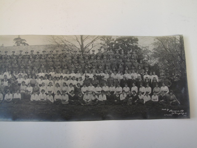
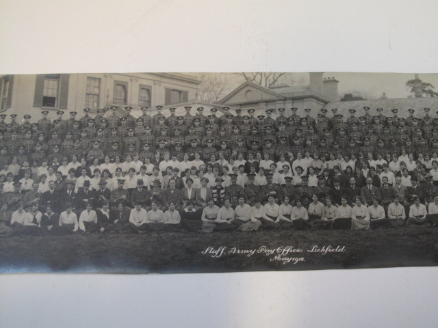
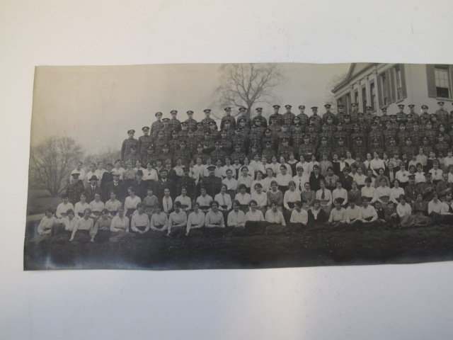
For at least 20 years, possibly longer, Lichfield was home to one of the army’s regimental pay offices.  The Army Pay Corps (known as Royal Army Pay Corps from 1920) if my understanding is correct, was the payroll department for the army. The office at Lichfield seems to have been based at Beacon Place, the house whose grounds formed much of what is now Beacon Park. This staff photo was taken outside there in May 1918. The photo is huge and so is in three parts.

The quarterly journal entries that I have copies of begin in Spring 1931 and focus mainly on sports, but inbetween the reports of cricket, tennis, football, bridge and table tennis there are other snippets of life at Beacon Place, and in Lichfield as a whole, during the period.

Here are some extracts from Spring 1937:

Spring must be on the way: the surest sign here is that the white lines on the tennis courts have been painted….Flannels are being sent to the cleaners, rackets are being plonked banjo fashion and sent to be restrung, and the good players are looking up the season’s catalogues and deciding on something really posh for this season….

Lichfield, in common with other great cities, is according to the press, going to do itself well for the Coronation. Flood lighting of the Cathedral and other important buildings, sports in the recreation grounds, glee-singing on Minster Pool (of course, this may be a stunt to make spome of these three-feet pike give themselves up), presentation of mugs to the children in the Market Place, after they have watched and cheered the Lord Mayor and all the City’s dignitaries. It will be a fine rehearsal for the Lichfield Bower which happens the following Monday and all who know Lichfield know what a fine day that is.

SQMS H Horan and Sgt R Mackreth have left us for Woolwich and Egypt respectively and Sgt R Tolley and L/Sgt J Duckworth, to whom we also extend the welcome mitt, have joined us from Palestine and Egypt respectively.

The decision to close the Lichfield office, due to a reorganisation of the system, was reported in The Tamworth Herald on April 24th 1937. Documents were transferred to York and Shrewsbury and it was said that,

The closing of Beacon Place, with the resultant removal of the entire staff would be a great loss to Lichfield

The last entry for the Lichfield office in the Royal Army Pay Corps journal that I have is Autumn 1937. I understand that Beacon Place was taken over by The Royal Army Service Corps during the Second World War, something I haven’t even begun to look at yet!

The photo and the journal entries were sent to me by Mr Bailey, curator of the AGC Museum in Winchester, after I made some enquiries for a walk I was doing in Beacon Park.  Mr Bailey has been incredibly helpful in helping me to discover more about the use of Beacon Place by the Army Pay Office and in telling me more about the RAPC generally. I have several other pieces of information that Mr Bailey has sent me, including lists of some of the employees at various times . One thing he mentioned that I find particularly interesting is that research by Dr John Black has indicated that following the campaign on the Somme in 1916, Army Pay Corps staff were sent to the Western Front and women were recruited locally to replace these men. Are these the women in the 1918 staff photo? Unfortunately, Mr Bailey hasn’t been able to find any records of names for the soldiers who departed or of the women who replaced them.
I’m especially interested in finding out more about the local people who worked at the Beacon Place office. If anyone has any further information regarding any of the above, it’s be great to hear from you.

Smoky Bacon

Why is Beacon St called Beacon St? Once upon a time it was known as Bacon St (or variations of this such as Bacunne). It’s suggested that at some point around the beginning of the 19thc, someone decided that Beacon St was a more fitting name.  It’s pure speculation on my part, but I wonder whether this name change had anything to do with the building of Beacon Place around 1800? The man who built the house was called George Hand. As there’s a cut of pork called ‘the Hand’, maybe he was keen to distance himself from all things porcine? As I said, mere speculation.

In books about Lichfield published at the beginning of the 1800s, both names are often given. One (1) gives the following description:-

Bacon or Beacon street anciently written Bakun or Bacun street, takes its name from a beacon placed upon the top of a tower which stood the Dean’s croft and adjoining field. It was the principal street of the town and was burnt down in 1646 at which time it was chiefly inhabited by cappers whose business was staple of the place

Beacon St Ward banner?

Is there any truth in this explanation? Or is a story, created to support the name change?  Is there any other evidence of an actual Beacon?  The above ward banner in the Guildhall surely relates to the Beacon St ward (although it’s another one where the name plaque is obscured). Alone it’s not evidence for the Beacon theory, although as I’ve mentioned before, I would be interested to see when/where the designs for these banners came from. There is a place in Lichfield called Dean’s Croft, but it’s near St Michaels, not Beacon St.

Thomas Harwood’s book (2) throws another explanation into the ring.

It is probable from the situation of Bacon street that name is an abbreviation from Barbican or Barbacane a word of Arabic original (sic). A barbacan is a sort of hold or fort for the security of the a munition placed in the front of a castle or an outwork.

In 1886, the William Salt Archaeology Society noted (3)’The present spelling of the name of this street is altogether unauthorised, and an innovation of this century. It is found spelt Bacon, Bacun, or Bacune uninterruptedly from the 13th to the 18th century’.

Likewise, I’m not convinced by the Beacon or Barbican theory….yet. As ever, would like to know what others think. I wonder what the good people of the Bacon Beacon Street Blog, think?

Edit 15/7/2012

Referring to the Beacon St area, the Collections for a History of Staffordshire Part II- Vol VI (1886) record that there is a reference to a Bacone’s Cross, along with a Swane Lane (now Shaw), Merliches Well, Poole Hall and Whitehall that I missed before.

Sources:

(1)A short account of the city and close of Lichfield by Thomas George Lomax, John Chappel Woodhouse, William Newling

(2) The history and antiquities of the church and city of Lichfield by Thomas Harwood

(3) Collections for a History of Staffordshire Part II- Vol VI (1886)

Land of the Faroes

We’re really lucky to have a good range of independent shops and businesses, both in the centre of Lichfield, and in the surrounding area and it’s great to hear that another unique shop is opening next week.

Opening on Tuesday 3rd July, at the Heart of the Country shopping village at Swinfen, Faroe Born will be selling 100% Faroese wool clothing, accessories, yarn and more. All Faroe Born garments are machine-knitted or woven and then fulled according to traditional methods. This procedure ensures that the garment is wind and water resistant while it maintains its soft and warm texture. With the ‘summer’ we’re having, that sounds incredibly appealing! The shop will also be selling a range of cutlery and tableware. The shop belongs to Ian, a great supporter of this blog and all things Lichfield!

As if all that wasn’t enough, they also have one of the cutest logos around. Meet Sirri the Sheep!


A View from the Bridge

A quick trip to the shop turned into a two hour walk, a good proportion of which was spend in the Stowe area of Lichfield. I found the plaque marking the approximate site of the old gate or barr into the city and then I remembered that the Cruck House was nearby.

Cruck House


Site of Stowe Gate, end of George Lane/Lombard St

Stowe Gate plaque

 I wanted to get over to Stowe Pool, to see if there were any water lilies this year and crossed over using the bridge,  something I hadn’t ever done in 8 years of living in Lichfield!

View from the bridge


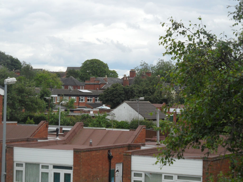
The rooftops of Stowe


Willows


There were water lilies in the pool although possibly not as many as there were the same time last year. Whether this is because the sun has gone awol this year, I don’t know. I didn’t spot any nests amongst them either. This might be as they’ve chosen to move onto the specially built wildfowl islands built in the centre of the pool instead!

June 2012


June 2011


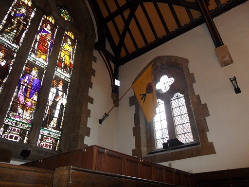
Back to the ward banners in the Guildhall and I think that Stowe’s is the one showing St Chad’s cross, relating to the fact that St Chad’s Church and St Chad’s well are found inside this ward.
Although the Stowe St gate is long gone,  I do get a sense of being outside the city here. It’s a wonderful place to explore and enjoy. One of the definitions I’ve seen for the placename Stowe is ‘meeting place’, and from my lookout point up on the bridge I saw children playing, people out for a walk and couples sat talking. If you ever get the chance to join them, you should.
Tree following: Midsummer

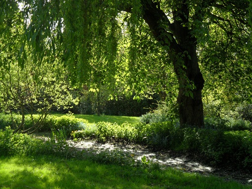
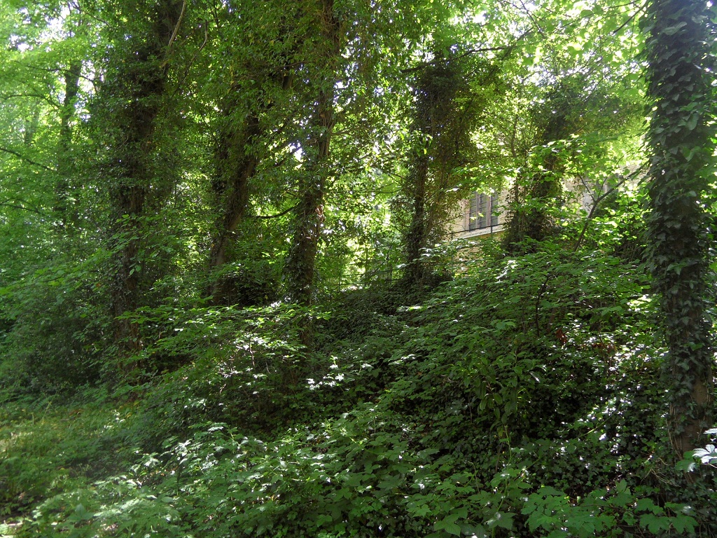
Even though it feels as if it’s barely begun, it’s already Midsummer and the lane next to the church is now green and leafy. Lovely as it is, this is probably the least interesting time for the lane.

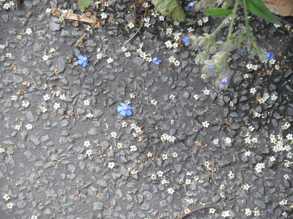
Fallen elderflowers and other petals lie scattered like confetti from nearby Christ Church.

Alongside them are Midsummer reminders of Autumn.

The holes in the tree still hold a fascination for me. I put my hand in and took some more photos of the inside, with irrational thoughts of the Boca della Verita at the back of my mind.


Bit of a Bore

Last night in the Horse & Jockey on Sandford Street, the Holden’s Golden Glow and the football were in full flow. The former was definitely more satisfying than the latter. As Spain made their millionth pass around the forty minutes mark, my mind started to wander. It wandered back to Bore St, where I was still trying to work out which of the ward banners belonged to this Lichfield ward and why (some of the name plaques underneath the flags were obscured when I went back to check).

Bore St ward banner?


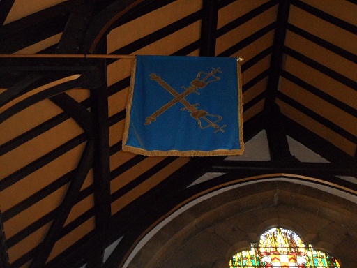
It dawned on me that this flag showed the city maces, which are used in civic processions and date from 1664 and 1690. The centre of civic events in Lichfield is of course the Guildhall on Bore St where of course the flag is hanging. So I should probably  have worked this one out a bit quicker!

The maces being carried in the 2012 Lichfield Bower procession


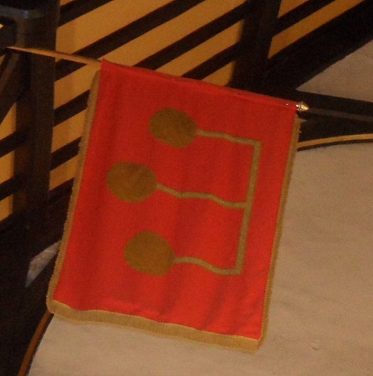
Whilst we’re on the subject of football, what about the golden balls of the Lombard St ward banner? I didn’t know until now but Lombard is another name for a pawn broker, and of course this type of business has long been identified by this symbol. Wikipedia explains that the concept originated in the Lombardy region of Italy.

Lombard St was once known as Stowe St infra barras (i.e. the part of Stowe St inside the barrs (or gate) of the city). Did the name change occur when this kind of business was set up in the street? Or is there another reason?

Lombard Ward banner

Hospital Ward

In 1781, John Snape carried out a census of Lichfield, making a list of the different wards of the city in the process. The wards are as follows: Bacon St (now Beacon St), Bird St, Sandford St, Sandford St below the water, St John’s St, St John’s St above the bars, Sadler St (now Market St), Bore St, Wade St, Dam St, Tamworth St, Lombard St, Stow St and Greenhill.

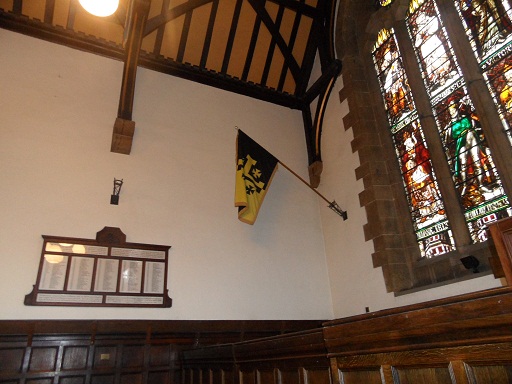
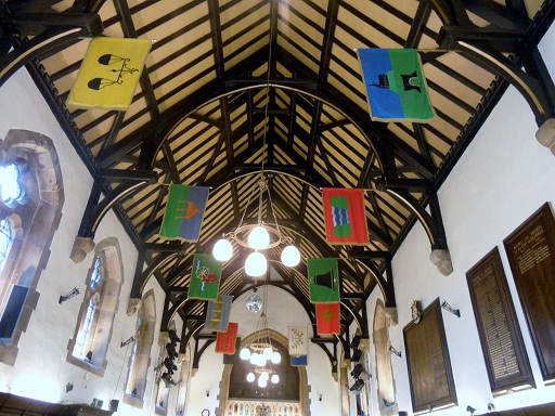
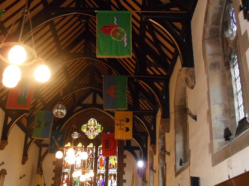
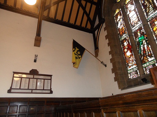
I think that these are the wards depicted by the flags hanging from the ceiling of the Guildhall, discussed here in my previous post. Now that I’ve finally made it back into the Guildhall to check which flag corresponds with which ward, I’m going to take each one in turn, trying to discover the significance of the design on each flag. Some I’m pretty sure of, others I’m really not (I’m talking about you Sandford St below the water ward!)


Photo from Ell Brown via flickr

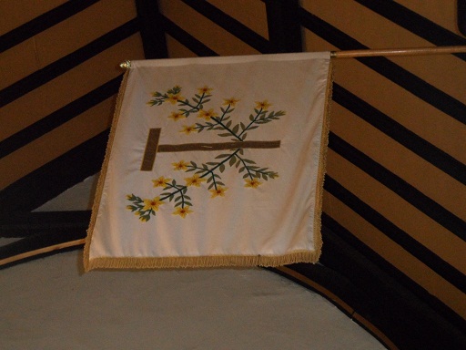
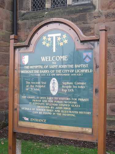
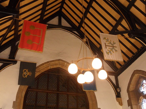
 I’m starting with the flag that represents St John’s ward. Not only is it my favourite of the banners, it’s also seasonal with the feast of St John’s (or Midsummer’s Day) on 24th June. St John St gets its name from The Hospital of St John The Baptist (the place with the chimmneys!). The design from the flag is also on the board outside St John’s chapel, but what does it represent? The yellow flowers must be St John’s Wort, associated both with the saint and midsummer. What are the flowers growing around though?  Well, it’s taken a lot of googling but I think that it’s St Anthony’s Cross (also known as the Cross of Tau), often associated with St Francis. This possibly explains its inclusion, as the site of the Franciscan Friary lies within this ward . Part of the old Friary wall can still be seen on St John St.

Please feel free to join in with the speculation on this and any of the other flags that follow!

Photo of St John’s board from Ell Brown’s Lichfield Group photo set on his flickr stream, included with thanks.

A Flag Post

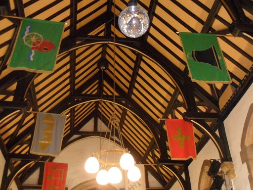
Hanging in the main hall of Lichfield’s Guildhall are banners representing the city’s wards. I’ve read on an information sheet about the Guildhall that these flags were created in 1975, by students from Lichfield’s School of Art. However, I’m wondering if they are based on anything earlier or if they are just recent(ish) designs? It does seem possible that each ward may have had its own symbol in the past – talking about The Court of Array in 1805, Thomas Harwood said,

“The public officers of the city attend and various processions are made by the constables and dozeners of each ward who in these processions anciently bore tutelary saints but which are now converted into garlands of flowers or emblems of their trade”.


Now, I had written down which flag in the Guildhall related to which ward on a piece of paper but I left it at the pub over the jubilee weekend (Ye Olde Windmill in Gentleshaw where I had a lovely steak & ale pie.  In fact, as the name suggests there is a ruined old windmill in the grounds, so the pub probably deserves a post of its own). I’ve been back to the Guildhall several times since, but haven’t been able to get into the main hall for one reason or another.

I can remember all but two. I think. Some are definitely more obvious than others. I reckon the best thing to do is put the photos up and see if anyone has any ideas about which flag relates to which ward and why. In the meantime I’ll try and get back to the Guildhall to make another list and hold onto it this time!  

.


By the way, there is no flag for Leomansley, so I’ll just have to design my own. If anyone from the Lichfield School of Art Class of 1975 wants to get in touch to give me a hand with this, or to share the story of how the other banners came to be made,  that would be fantastic!

(1) History, Gazeteeer & Directory of Staffordshire William White 1834

A Short Account of the City & Close of Lichfield’ by Thomas George Lomax, John Chappel Woodhouse, William Newling (1819)

Lichfield: Town government, A History of the County of Stafford: Volume 14: Lichfield (1990), pp. 73-87