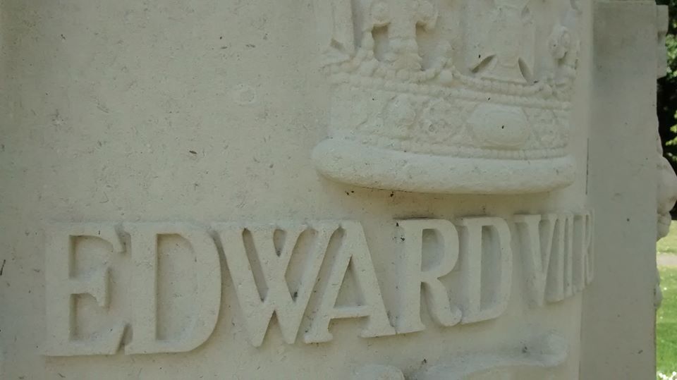
Last Sunday, I had an appointment at Burton upon Trent and wanted to make an afternoon of it. However, it seemed unfair on my designated driver to make him explore the town’s famous brewing industry without being able to sample a drop of ale and so I thought we’d base our trip on water instead, and whilst doing a bit of research for this, I found a great story about air.

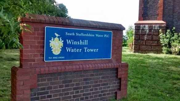
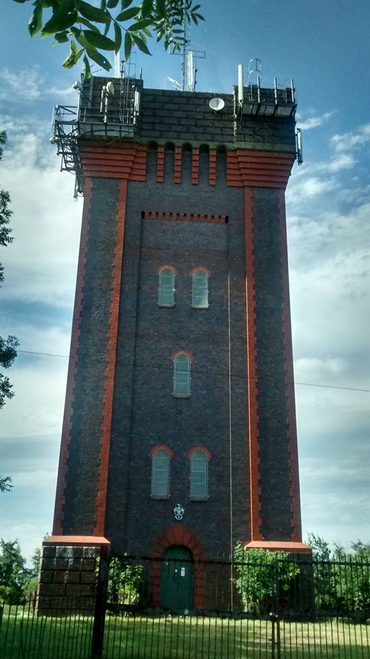
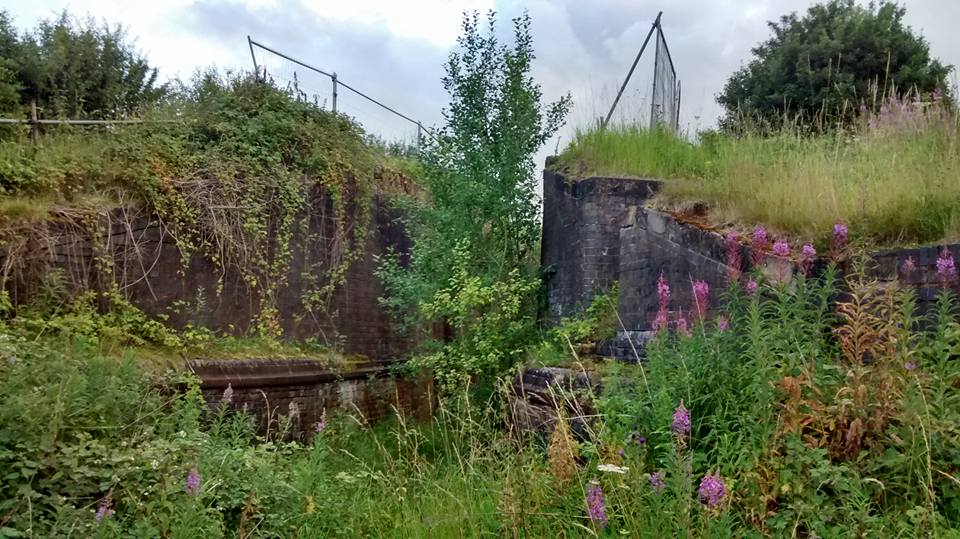
Winshill Water Tower, also known as Waterloo Tower as it stands in front of woodland planted in 1815 to commemorate the battle, was built by the South Staffordshire Water Company in 1907 to improve water pressure in the area. Since the 1990s, the 50,000 gallon capacity tank has been empty and the tower’s only practical purpose has been to host communications aerials and masts on its summit. It’s a much loved Burton landmark though, supposedly visible from wherever you are in the town. (1)
During Burton Aviation week, held from 26th September to 1st October 1910, flags were flown from the tower to signal to the crowds gathered on on Bass Meadows (1) whether flights had been suspended due to wind or whether another flight was imminent. An advertising poster for the event announcing that Helene Dutrieu (2) would be one of the seven fliers and carrying passengers can be seen here.
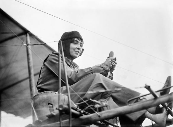
Helene Dutrieu, pioneering aviator and much, much more. Image from Wikipedia
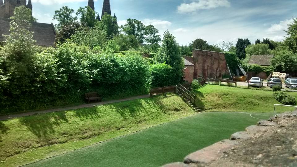
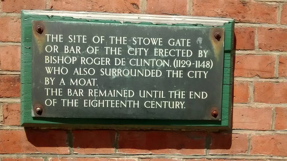
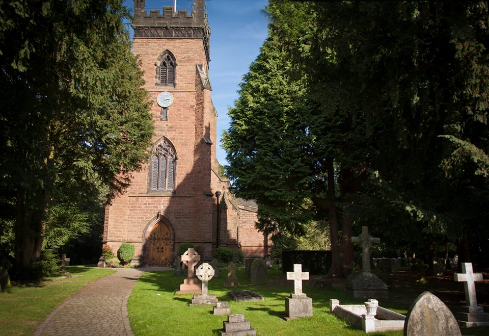
Due to high winds, nothing much happened on the first day of the show. On day two however, things got very exciting, and not just for people gathered on Bass Meadows. News had reached Lichfield that some of the pilots would be flying around the Cathedral in an attempt to win a cup given by the Marquis of Anglesey for the fastest round trip. Large crowds assembled around Minster and Stowe Pools, in the Cathedral Close (it was even reported that there were people up the central spire) and on the Burton Road. At quarter past five in the afternoon, Julien Mamet whirred into sight on his Bleuriot plane, swept around the north side of the Cathedral, flew south over Christ Church and the Bowling Green and headed back for Burton where he arrived at fourteen minutes later. There was a lot of cheering and waving of hats and hankies (what would we wave nowadays? Nothing probably, we’d be too busy trying to record it on our phones). An hour later, a shout went up as another Bleuriot, this time piloted by Paul de Lesseps, was spotted. The Mercury reports that although De Lesseps lost his bearings by following the wrong train line somewhere around Wychnor Junction, he managed to find them again, approaching the city from the South and flying parallel to Bird Street above the heads of the crowd.
By this time it was dusk and De Lesseps, deciding he would be unable to reach Burton before dark, landed his aircraft in a field belonging to Grange Farm on Wheel Lane, clipping the tail on a fence (it was later reported that De Lesseps had only narrowly missed the roof of the farmhouse). As darkness fell back at Bass Meadow, the mood changed from excitement to concern. Mamet had flown up to meet his rival, but saw no sign of him. As spectators lit bonfires, flares and lamps in the hope they would guide De Lesseps safely back to Burton, a search party set off in the direction of Lichfield. Eventually, they found De Lesseps in the field, signing scraps of paper for a crowd of autograph hunters by matchlight. The damaged plane was taken charge of by the police, and De Lesseps was taken to the George Hotel, where he informed a crowd gathered at the steps that he hoped to fly back to Burton at four the following afternoon, once he had made the necessary repairs.
Well, that was the plan anyway. Flying back to Burton, however, in an attempt to break the record for flying at high altitude, De Lesseps missed the town altogether. There was another anxious wait for the crowd who had seen De Lesseps flying over at a great height before disappearing in the direction of Derby. Eventually, a message was received that he had landed safely at Colwick Hall near Nottingham.
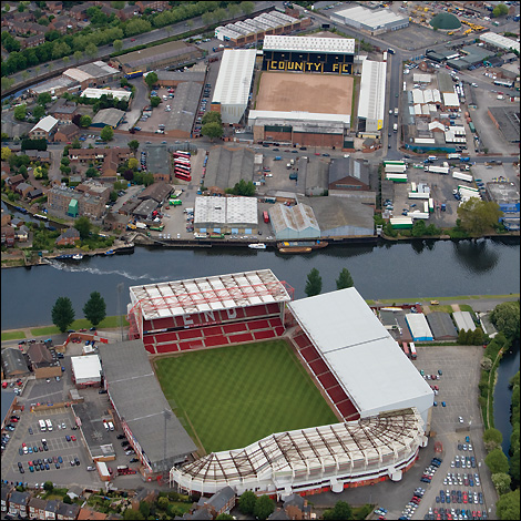
De Lesseps’ return journey to Burton had was also not without drama. As he flew over Meadow Lane, where Notts County were playing Bristol City, he caused such a sensation that the match had to be stopped for a for a few minutes as the crowd, players and officials gazed upwards. Unfortunately, the referee, a Reverend Marsh, forgot to adjust his watch, blew his whistle four minutes too early and had to call the players, some of whom had already started to get changed, back out out of the dressing rooms to finish the match. As if this wasn’t a memorable enough occasion already, it was apparently also The Magpies’ first victory at their new ground (where’s this guy when you need him?).

Aerial view of Meadow Lane (and City Ground. I did not realise how close they were!) Wonder how much has changed since De Lesseps saw it from a similar perspective?
Mamet may have taken the prize for the out and home Burton to Lichfield flight, but De Lesseps definitely stole the show.
Notes
(1) On my next trip, I plan to take the bus and check whether it is really visible from everywhere, including several beer gardens.
(2) Bass Meadows was an area of land owned by the brewing company and used to provide sports facilities for their employees.
(3) Helene Dutrieu was a racing and stunt cyclist, a racing car driver and a pioneering aviator. During the First World War, Dutrieu became an ambulance driver and director of a military hospital and later become a journalist. More about her incredible life here.
Sources:
Lichfield Mercury Archives
Home


