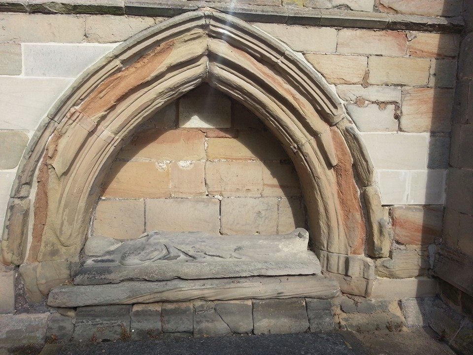
The 462nd Sheriff’s Ride and its spin-off take place this coming Saturday (5th September) and I’m marking the occasion with a post about posts. For those who don’t know, the Sheriff’s Ride is an annual perambulation of the boundary of the City (and between 1553 and 1888 the County) of Lichfield on the Saturday nearest to the feast of the Nativity of the Blessed Virgin Mary aka the eighth of September.

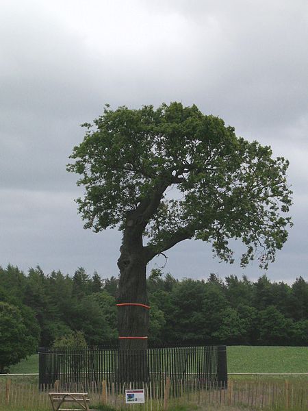
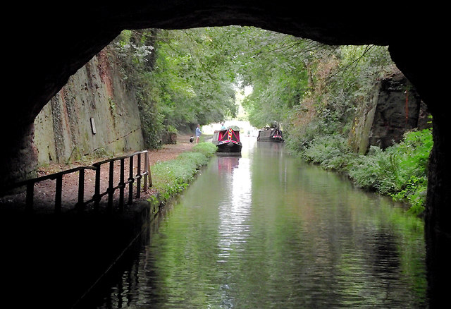
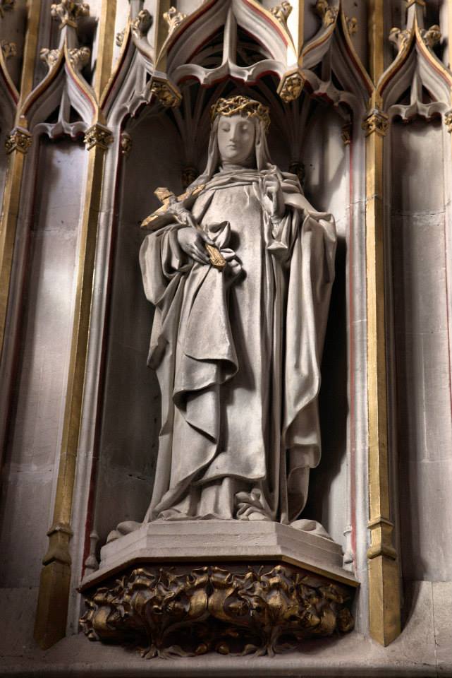
The Sheriff perambulating Cross in Hand Lane in 2014
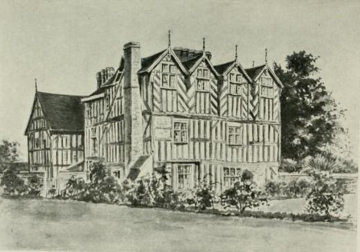
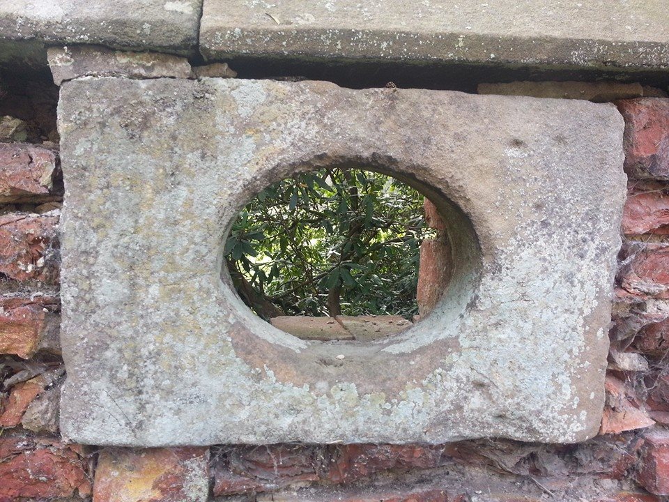
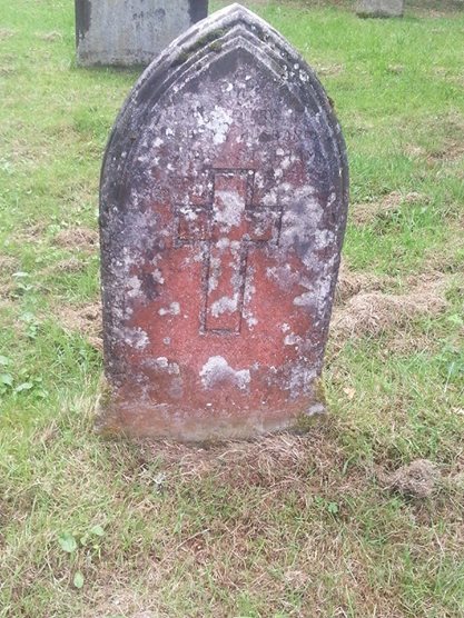
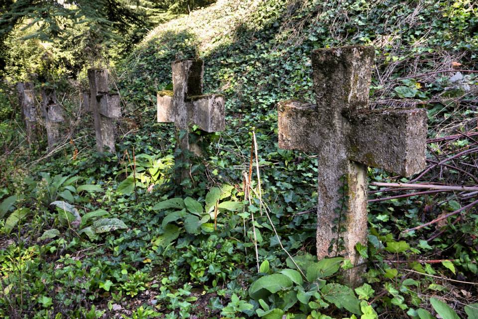
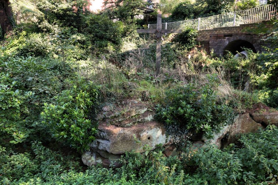
In the past, where the border wasn’t defined by natural features, such as the Circuit Brook in the North, man-made boundary markers were used. The ride traditionally began (and ended) at Cross in Hand Lane, where a long since vanished cross indicated the city limits and in a talk on the Sheriff’s Ride in 1937 (1), Percy Laithwaite described how a headless cross marked the half way point of the ride at Freeford. Between these two ancient crosses, in the nineteenth century at least, a series of wooden posts staked out the boundary. I know this because in 1878, at the half way point of the Sheriff’s Ride, Colonel Dyott of Freeford Hall complained that nearly half of them were missing. Concerned that the true purpose of the ride i.e. inspecting and maintaining the City of Lichfield’s boundary had been lost, the Colonel offered to point out the boundary as he knew it so that the decayed and disappeared posts could be replaced. That year’s Sheriff, Thomas Sherrat, added that he could remember a series of white posts marked with a letter L along the boundary and Mr Coxon of Freeford Farm recalled that there had been nine posts in the vicinity of his property when he first arrived there, but only one remained.
It seems that the matter of the missing posts didn’t quite make it onto anyone’s to-do list that year, as in 1879 the Sheriff (Dr Browne) reported that he had perambulated the boundary as best he could but found it difficult and unsatisfactory due to the disappearance of many of the boundary posts. According to his reckoning, twenty seven of the forty timber posts were missing in total and due to the ‘injurious consequences to which their absence might easily lead’, he requested that they be replaced. He went onto suggest that the whole lot should be replaced by iron markers. Were they?
Even more important that the physical markers which defined the boundary was the knowledge of it held within the collective memory of the city’s residents. The Sheriff’s Ride was not just a civic event, but a community one. Laithwaite says that as late as 1645, the Lichfield Court ordered at least one member of each household to accompany the Sheriff on the ride or be fined. Lichfield’s younglings would follow in the footsteps (ok, hoofsteps) of Lichfield’s senior citizens who, after decades of perambulating, knew their Lady Leasowe from their Austin’s Coat. Knowledge was passed down the generations and when it came to disputes, it was used as evidence. Laithwaite referred to a case in 1656, when there was a disagreement over where Lichfield began and Lord Paget’s land ended (and vice versa). The bailiffs of the city produced four city elders as witnesses, who swore under oath the route of the boundary line that they had followed since they were boys.
The earliest written description of the boundary is thought to date back to the late eighteenth century but I suspect you’d still need to know where you were going in order to be able to follow it, if that makes sense. I wheel it out every year but just in case you haven’t seen it before, here is the description of the route which dates back to the late 18th century. Some places are recognisable, some just about fathomable (it took me a while to decipher Whisich as Wissage) and some are…..Hic-filius.
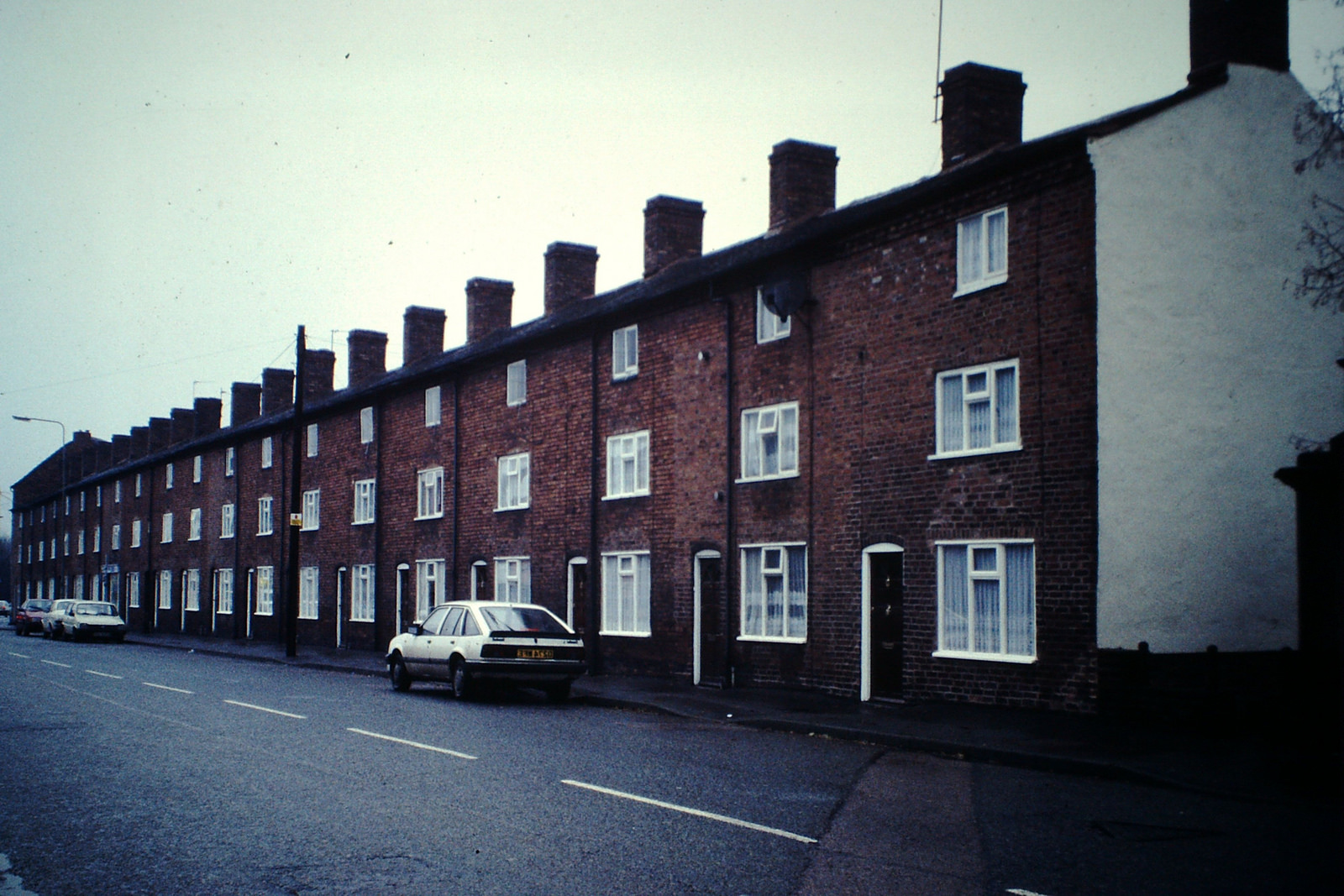
It begins at a place called the Cross and Hand near the end of a street there called Bacon street and from thence goeth northward along the lane leading to Longdon Church unto a little lane at the further side of Oakenfields and so along that little cross lands unto another lane that leadeth from Lichfield to King’s Bromley and then along that lane towards Lichfield unto a little lane lying between the Grange Ground and Collin’s Hill Field commonly called the Circuit lane unto the further end of it betwixt two fields the one called Hic-filius and the other Piper’s Croft and so over across a lane that leadeth from Lichfield to Elmhurst and then into another little lane between Stichbrooke Ground and Gifforde’s Crofte and so along that little lane to a green lane at the further side of the Lady Leasowe being the land of Zachary Babington Esquire and down that lane to a called Pone’s Brook and so over that brook into another lane called Stepping Stones lane and so along that lane taking in the land of Richard Dyott Esq Pone’s Fields unto a lane leading from Lichfield to Curborough Somerville so along that lane towards Lichfield until you come to the upper end of the grounds called Scott’s Orchard and then leaving that lane turn into a field of Lichfield called Whisich at a stilt going into the fields called Browne’s Fields and so taking in the field called Whisich then go by the closes called Browne’s Fields Hedge unto the grounds called God’s Croft Hedge and so along that hedge taking in the field called Whisich lane called Goslinge’s lane and along Goslinge’s Lane unto a lane called Matthew Coal Lane and so over across that lane into a field called Cross field at or near an elm tree and so along a head land about the middle of Cressfield unto the nearer end of Gorsty Bank into the lane leading from Lichfield to a cross way called Burton turnings and from thence along Ikenield street taking in Spear Hill and Boley unto a cross way leading from Lichfield to Whittington and so along that lane towards Whittington unto the south end of Austin’s Coat Grounds then turning upon the left hand at that brook to a gate going into Fulfin Grounds unto the moors called Dernford Moors and so along by the hedge of those moors unto the nether side of Dernford Mill stream and so going by the mill door to the pool dam and going along by the pool and the brook taking in Horslade and a meadow belonging to Freeford House unto a bridge called Freeford Bridge in a lane leading from Lichfield to Tamworth and so from that bridge up the sandy lane to Freeford House and along that lane to the corner of the meadow and then turning into Bispells at the corner of the meadow and so going by the meadow hedge until you come to the brook that runneth to Freeford Bridge and so going up a little pool taking in all Bispells unto a ford called Baltrex ford and then entering into Old field turn up the left hand to the brook that runs from Freeford Pool and so along that brook to Freeford Pool and along by the pool and the brook that comes from Swynfen Mill until you come into the lane that leads from Swynfen unto the mill and so along that lane to a gate that leads from Lichfield unto Swynfen called Old Field Gate and then not coming in at that gate but going to the corner of the hedge adjoining to Cley Lands come in at a gap and taking in all Old field come by the demesnes of Swynfen unto a place called Long bridge and so entering into a little lane between Long furlong and Long bridge grounds leading to Well crofts and so taking in all Well crofts along by the Knowle Leasowes being the Hospital Land unto Ikeneld street and so along Ikeneld street unto the further side of a close called Gorsty Leasowe and leaving the hedge on the left hand taking in that close going along by that hedge leading to Hare house Ground and so along that hedge unto the top of Dean’s Slade taking in all Hare house Ground northward enter into Park field leaving the hedge on the right hand and so following that hedge unto a little lane at Aldershawe that comes down that lane to the gate and through the gate then turn upon the left hand by Aldershawe Hedge taking in the barn and so go into the Wheat Close leaving the hedge on the left hand unto the road called the Fosse way up to the top of Mickle hill then crossing over Pipe green along an old decayed cart way into a lane end that leads to Pipe grange lane to the further side of Padwell’s and so taking in Padwell’s leaving the hedge on the left hand to a little lane that leadeth into Ashfield leaving the hedge on the left hand into the grounds called Lammas Grounds and leaving the hedge on the left hand and so into Lemondsley then following the brook to Pipe green gate and so along the brook in Pipe green into a little lane that butteth upon the lane that leadeth from Lichfield to Pipe and crossing that lane into Smithfield at the corner of Abnell Hedge and so taking in all Smithfield leaving Abnell Ground on the left hand unto the Cross and Hand where it began.

Whisich/Wissage. Try saying it aloud! No idea what it means though….
Percy Laithwaite rounded off his talk in 1937 by hoping that in another four centuries time someone would still be talking about the annual delights of perambulating what had been called ‘the jolliest sixteen miles in Staffordshire’ (although perhaps not if you were riding with Dr Browne in 1879). Well, we’re still doing it seventy eight years on (although due to boundary changes it’s now a twenty mile round trip) and I hope everyone taking part in the rides has a great day on Saturday. Of course, if anyone ever spots one of those old boundary markers, please keep do me posted!
(1) One of a series of ‘Our City’ talks arranged by the Higher Education Committee of Lichfield City Council.