Beaming

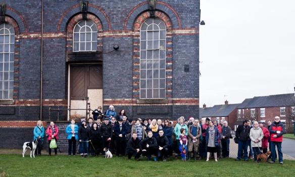
You’ve probably heard about the exciting developments in the Lichfield Waterworks Trust’s campaign to save Sandfields Pumping Station for the community. If you haven’t a) where have you been all weekend? and b) please take a look at chairman Dave Moore’s recent announcement here and a great post from the ever supportive Brownhills Bob here.
Sandfields Pumping Station. If you still don't know where this amazing place is, tell me and I'll take you there myself.
Sandfields Pumping Station. If you still don’t know where this amazing place is, tell me and I’ll take you there myself.
You probably won’t be surprised that I want to add my two penn’orth. For all its tangents and diversions, this is essentially a blog about Lichfield history and to be able to write a post saying that we are now going to be actively involved in preserving and promoting one of the most important architectural, industrial and social heritage sites in the city (and indeed country)…well, let’s just say I’ve had to pinch myself a few times.

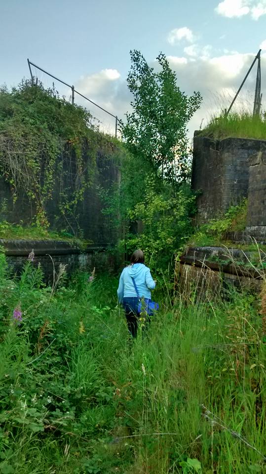
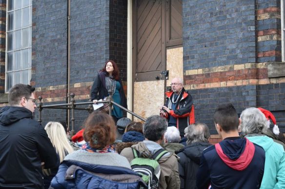
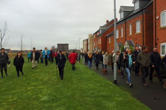
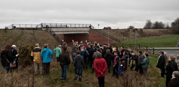
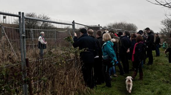
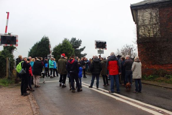
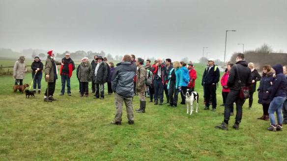
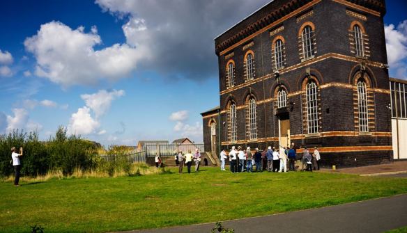
One of the three waterwalks arranged by the Lichfield Waterworks Trust or the Heritage Weekend 2015

One of the three waterwalks arranged by the Lichfield Waterworks Trust for the Heritage Weekend 2015

On 19th September 2015,  the Trust took part in the Lichfield Heritage Weekend with three water themed walks around the city and a display in the museum at St Mary’s. We wanted to share the story of how Lichfield supplied clean drinking water to the Black Country during the cholera epidemics of the mid-nineteenth century and to highlight the heroic role Sandfields Pumping Station and its now unique Cornish Beam Engine played in this. Rather fittingly, the theme of the 2015 weekend was ‘Making History’ as here we are just five weeks later, in a position to do exactly that.

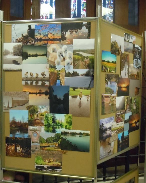
Our display of photos on the theme of Lichfield Water contributed by members of the public during Summer 2015.

Our display of photos on the theme of Lichfield Water contributed by members of the public during Summer 2015. (Photo by J Gallagher)

I’ve been grinning from ear to ear since I heard the news. Congratulations, thanks and respect must of course go to chairman Dave Moore and the other members of the Lichfield Waterworks Trust for their tenacity, dedication and hard work but also their optimism, vision and ability to talk me into wearing a boiler suit in public. Thanks also though to those of you came who came on a water walk, sent us a photo of a Stowe Pool sunset, visited John Child’s amazing model of a Newcomen engine at our stall in the Festival Market, lent us your name in support, picked up a leaflet, got really excited when you heard about the Hanch tunnel running below your feet, chucked your two penn’orth worth in our bucket during the Bower Procession and showed us in many other ways that you cared deeply about not only the past but also the future.

Some of the Waterworks Trust Gang collection during the Lichfield Bower 2015

Some of the Lichfield Waterworks Trust gang collecting during the Lichfield Bower 2015

As David and Bob both rightly say, the real hard work starts here and we’ll need your ongoing support as we embark on a new chapter in Lichfield’s water story. I’m hoping it’s going to be ‘Sandfields Pumping Station – built for the community and saved for the community by the community’. Sounds like a great way of making history to me.

A beaming Gill on last week's Arts & Heritage procession. She carries the boiler suit look off much better than I do.

A beaming Gill from the LWT on last week’s Arts & Heritage procession (she carries the boiler suit look off much better than I do).

Lichfield Discovered Meet-Up

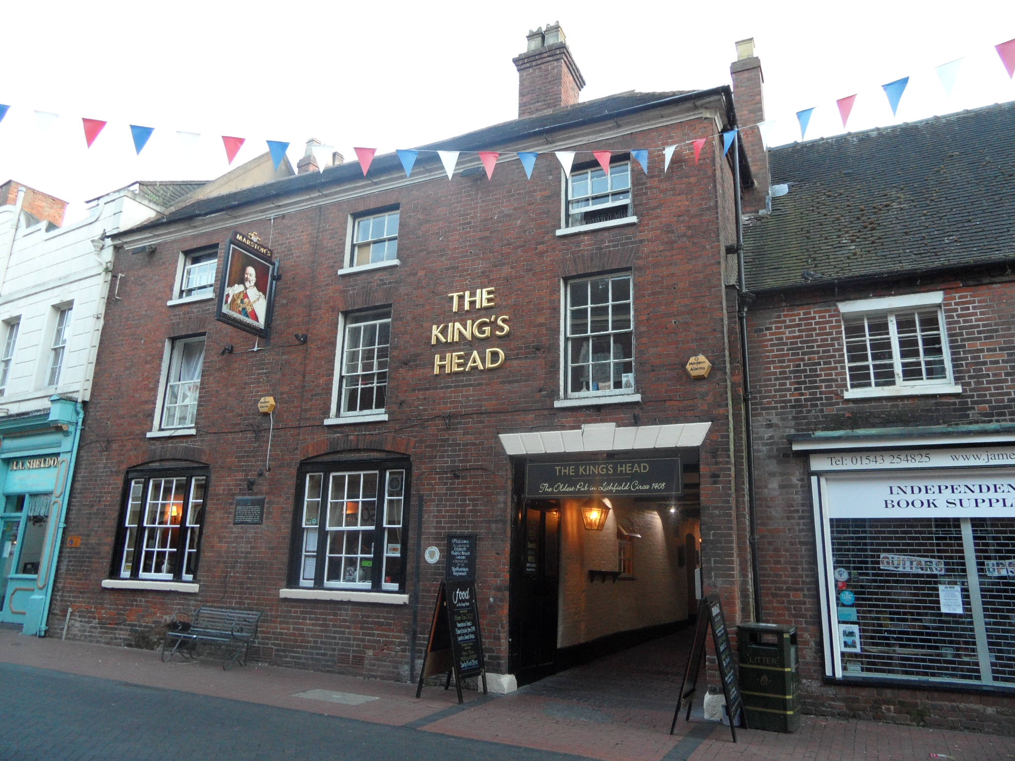
Our Lichfield Discovered monthly meet-up is at the King’s Head on Bird Street tonight (Tuesday 8th September). It starts at 7.30pm but don’t worry if you’re late, just join us when you can. We’ll be there for a while….We’ve got plenty to talk about including plans for our Halloween get-together at a suitably historic location just outside the city, the possibility of a garden archaeology project next year and we’ll be chucking around ideas about some experimental local history (this may or may not involve charabancs). We need to have a bit of a chat about the future direction of the group and of course, there’s bound to be general chatter about all things Lichfield.

Kings Head, Lichfield

These meet-ups are informal, open to everyone and you can get involved as much, or as little as you’d like. You can come along and have a say in what we do and how we do it, or you can just come along and say ‘hello’. There’s no obligation to come every month, just as and when you want to.

As ever, the best place to keep up to date and get in touch is on twitter @lichdiscovered or like our Lichfield Discovered Facebook group.

(Apologies for the late notice with this. I had some technical issues with the blog which I am hugely grateful to Philip John for sorting out. I hope nobody bought one of those mobile phones)

Rode Trip

The 462nd Sheriff’s Ride and its spin-off take place this coming Saturday (5th September) and I’m marking the occasion with a post about posts. For those who don’t know, the Sheriff’s Ride is an annual perambulation of the boundary of the City (and between 1553 and 1888 the County) of Lichfield on the Saturday nearest to the feast of the Nativity of the Blessed Virgin Mary aka the eighth of September.

The Sheriff perambulating Cross in Hand Lane in 2014

The Sheriff perambulating Cross in Hand Lane in 2014

In the past, where the border wasn’t defined by natural features, such as the Circuit Brook in the North, man-made boundary markers were used. The ride traditionally began (and ended) at Cross in Hand Lane, where a long since vanished cross indicated the city limits and in a talk on the Sheriff’s Ride in 1937 (1), Percy Laithwaite described how a headless cross marked the half way point of the ride at Freeford.  Between these two ancient crosses, in the nineteenth century at least,  a series of wooden posts staked out the boundary. I know this because in 1878, at the half way point of the Sheriff’s Ride, Colonel Dyott of Freeford Hall complained that nearly half of them were missing. Concerned that the true purpose of the ride i.e. inspecting and maintaining the City of Lichfield’s boundary had been lost, the Colonel offered to point out the boundary as he knew it so that the decayed and disappeared posts could be replaced. That year’s Sheriff, Thomas Sherrat, added that he could remember a series of white posts marked with a letter L along the boundary and Mr Coxon of Freeford Farm recalled that there had been nine posts in the vicinity of his property when he first arrived there, but only one remained.

It seems that the matter of the missing posts didn’t quite make it onto anyone’s to-do list that year, as in 1879 the Sheriff (Dr Browne) reported that he had perambulated the boundary as best he could but found it difficult and unsatisfactory due to the disappearance of many of the boundary posts. According to his reckoning, twenty seven of the forty timber posts were missing in total and due to the ‘injurious consequences to which their absence might easily lead’, he requested that they be replaced. He went onto suggest that the whole lot should be replaced by iron markers. Were they?

Even more important that the physical markers which defined the boundary was the knowledge of it held within the collective memory of the city’s residents. The Sheriff’s Ride was not just a civic event, but a community one.  Laithwaite says that as late as 1645, the Lichfield Court ordered at least one member of each household to accompany the Sheriff on the ride or be fined.  Lichfield’s younglings would follow in the footsteps (ok, hoofsteps) of Lichfield’s senior citizens who, after decades of perambulating, knew their Lady Leasowe from their Austin’s Coat. Knowledge was passed down the generations and when it came to disputes, it was used as evidence. Laithwaite referred to a case in 1656, when there was a disagreement over where Lichfield began and Lord Paget’s land ended (and vice versa). The bailiffs of the city produced four city elders as witnesses, who swore under oath the route of the boundary line that they had followed since they were boys.

The earliest written description of the boundary is thought to date back to the late eighteenth century but I suspect you’d still need to know where you were going in order to be able to follow it, if that makes sense. I wheel it out every year but just in case you haven’t seen it before, here is the description of the route which dates back to the late 18th century. Some places are recognisable, some just about fathomable (it took me a while to decipher Whisich as Wissage) and some are…..Hic-filius.

It begins at a place called the Cross and Hand near the end of a street there called Bacon street and from thence goeth northward along the lane leading to Longdon Church unto a little lane at the further side of Oakenfields and so along that little cross lands unto another lane that leadeth from Lichfield to King’s Bromley and then along that lane towards Lichfield unto a little lane lying between the Grange Ground and Collin’s Hill Field commonly called the Circuit lane unto the further end of it betwixt two fields the one called Hic-filius and the other Piper’s Croft and so over across a lane that leadeth from Lichfield to Elmhurst and then into another little lane between Stichbrooke Ground and Gifforde’s Crofte and so along that little lane to a green lane at the further side of the Lady Leasowe being the land of Zachary Babington Esquire and down that lane to a called Pone’s Brook and so over that brook into another lane called Stepping Stones lane and so along that lane taking in the land of Richard Dyott Esq Pone’s Fields unto a lane leading from Lichfield to Curborough Somerville so along that lane towards Lichfield until you come to the upper end of the grounds called Scott’s Orchard and then leaving that lane turn into a field of Lichfield called Whisich at a stilt going into the fields called Browne’s Fields and so taking in the field called Whisich then go by the closes called Browne’s Fields Hedge unto the grounds called God’s Croft Hedge and so along that hedge taking in the field called Whisich lane called Goslinge’s lane and along Goslinge’s Lane unto a lane called Matthew Coal Lane and so over across that lane into a field called Cross field at or near an elm tree and so along a head land about the middle of Cressfield unto the nearer end of Gorsty Bank into the lane leading from Lichfield to a cross way called Burton turnings and from thence along Ikenield street taking in Spear Hill and Boley unto a cross way leading from Lichfield to Whittington and so along that lane towards Whittington unto the south end of Austin’s Coat Grounds then turning upon the left hand at that brook to a gate going into Fulfin Grounds unto the moors called Dernford Moors and so along by the hedge of those moors unto the nether side of Dernford Mill stream and so going by the mill door to the pool dam and going along by the pool and the brook taking in Horslade and a meadow belonging to Freeford House unto a bridge called Freeford Bridge in a lane leading from Lichfield to Tamworth and so from that bridge up the sandy lane to Freeford House and along that lane to the corner of the meadow and then turning into Bispells at the corner of the meadow and so going by the meadow hedge until you come to the brook that runneth to Freeford Bridge and so going up a little pool taking in all Bispells unto a ford called Baltrex ford and then entering into Old field turn up the left hand to the brook that runs from Freeford Pool and so along that brook to Freeford Pool and along by the pool and the brook that comes from Swynfen Mill until you come into the lane that leads from Swynfen unto the mill and so along that lane to a gate that leads from Lichfield unto Swynfen called Old Field Gate and then not coming in at that gate but going to the corner of the hedge adjoining to Cley Lands come in at a gap and taking in all Old field come by the demesnes of Swynfen unto a place called Long bridge and so entering into a little lane between Long furlong and Long bridge grounds leading to Well crofts and so taking in all Well crofts along by the Knowle Leasowes being the Hospital Land unto Ikeneld street and so along Ikeneld street unto the further side of a close called Gorsty Leasowe and leaving the hedge on the left hand taking in that close going along by that hedge leading to Hare house Ground and so along that hedge unto the top of Dean’s Slade taking in all Hare house Ground northward enter into Park field leaving the hedge on the right hand and so following that hedge unto a little lane at Aldershawe that comes down that lane to the gate and through the gate then turn upon the left hand by Aldershawe Hedge taking in the barn and so go into the Wheat Close leaving the hedge on the left hand unto the road called the Fosse way up to the top of Mickle hill then crossing over Pipe green along an old decayed cart way into a lane end that leads to Pipe grange lane to the further side of Padwell’s and so taking in Padwell’s leaving the hedge on the left hand to a little lane that leadeth into Ashfield leaving the hedge on the left hand into the grounds called Lammas Grounds and leaving the hedge on the left hand and so into Lemondsley then following the brook to Pipe green gate and so along the brook in Pipe green into a little lane that butteth upon the lane that leadeth from Lichfield to Pipe and crossing that lane into Smithfield at the corner of Abnell Hedge and so taking in all Smithfield leaving Abnell Ground on the left hand unto the Cross and Hand where it began.

Say it aloud!

Whisich/Wissage. Try saying it aloud! No idea what it means though….

Percy Laithwaite rounded off his talk in 1937 by hoping that in another four centuries time someone would still be talking about the annual delights of perambulating what had been called ‘the jolliest sixteen miles in Staffordshire’ (although perhaps not if you were riding with Dr Browne in 1879). Well, we’re still doing it seventy eight years on (although due to boundary changes it’s now a twenty mile round trip) and I hope everyone taking part in the rides has a great day on Saturday. Of course, if anyone ever spots one of those old boundary markers, please keep do me posted!

(1) One of a series of ‘Our City’ talks arranged by the Higher Education Committee of Lichfield City Council.

On the Rocks

Lichfield is about as far as you can get from the sea. Somebody once wrote to the Guardian to say there was a plaque somewhere in the city making this claim but I’ve never seen it. However, being stuck in the middle of the country has not prevented the formation of the Lichfield Lighthouse Company, a group who meet at the Kings Head to sing sea shanties each month. It also didn’t stop me from heading out to look for shells in the city centre yesterday.

I’d read about the London Pavement Geology project over breakfast and I persuaded the other half to put his geology degree to good use and help me find out what Lichfield is made of, other than the ubiquitous sandstone (lovely though it is).

Lichfield Cathedral on Martyrs Plaque, Beacon Park

Lichfield Cathedral on Martyrs Plaque made from sandstone

Our first port of call was another of landlocked Lichfield’s nautical links. Unless you live under a rock, you’ll probably be familiar with Beacon Park’s statue of Captain Smith which someone from Hanley in Stoke on Trent tries to appropriate whenever there’s a new chapter in the Titanic story, due to the mistaken belief that the statue was originally intended for their town. On this occasion, it wasn’t the bronze captain but the plinth he was stood on that interested me. The nearby plaque told me it was Cornish Granite, a material which has also been used at the Titanic Memorial in London and the memorial at Belfast. I wonder whether there are any symbolic reasons for choosing this stone alongside the practical and aesthetic ones?

Captain Smith plaque, Beacon Park

Captain Smith plaque, Beacon Park

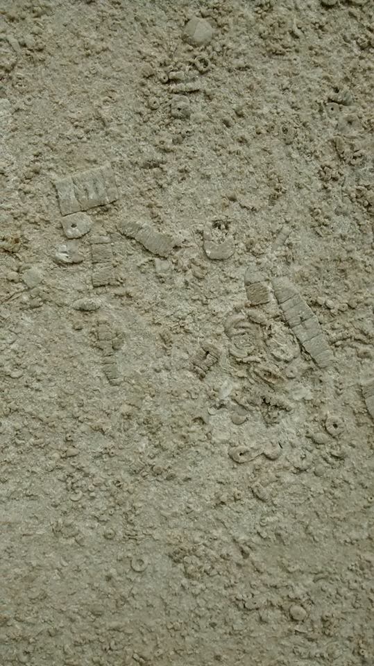
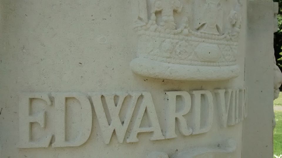
Not far from the Captain, King Edward VII stands on a base made of Hopton Wood stone. Get up close and you can see that the limestone is full of fossils including (and please correct me if I’m wrong) corals, crinoids and brachiopods from around 350 million years ago when the area that was to eventually become Derbyshire was under water. Lichfield wasn’t always so far from the sea!  It seems a similar stone has been used for the plinth Samuel Johnson sits on in the Market Square, as that too is full of fossils.

Samuel Johnson statue, Market Square, Lichfield

Samuel Johnson statue, Market Square, Lichfield

Fossils in Dr Johnson statue Fossils in Dr Johnson statue 2Of all the building materials we saw on our travels, the most unusual were to be found in a wall on Christchurch Lane. According to a booklet on the history of Leomansley compiled by the Friends of Christ Church, it was built by Cloggie Smith who used anything suitable that he had in his yard at the time. So, no Portland Stone here, just two Belfast Sinks. Are there any other examples of unorthodox construction materials used in and around the city?

Wall mounted Belfast sink

Wall mounted Belfast sink

You’ve probably guessed that I am way out of my depth when talking about geology, but the point is that after eleven years, seven months and two days here in Lichfield, someone made me look afresh at things so familiar that I barely saw them any more. Sometimes, the most amazing things are right under your nose. Or, in this case, under Dr Johnson’s and King Edward VII’s noses.

11894032_818906104889274_1449376816726442835_o

King Edward VII statue Lichfield Fossils in King Edward VII statue Lichfield


Midnight on the Hill

borrowcop

Borrowcop Hill is a place that doesn’t want to give up its secrets easily. What interests me about places like this is how gaps in our knowledge create a space where legends and folklore can grow unchecked. It’s not just a hill with a nice view. It’s the burial place of kings and martyrs, the site of Lichfield Castle.

to borrowcop gazebo

Stand at the summit and you’re standing at the highest point in Lichfield. Beacons have been lit here certainly for celebrations, possibly as warnings. The grammar school moved here from St John Street in 1903 and in 1971, merged with the adjacent Kings Hill secondary modern school to form the current King Edward VI School.  Interesting how the folklore was even referenced in the school name here. Another school on the site, the just as evocatively named Saxon Hill, was opened in 1979.

borrowcop sign

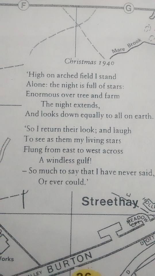
Christmas 1940

At last year’s Lichfield Discovered talk by Peter Young on Philip Larkin’s connections to the city, he told us that that whilst staying with relatives at Cherry Orchard in 1940, Larkin had written three poems. Only one, ‘Out in the Lane’, was published but all three were inspired by his temporary surroundings. Peter believes the arched field of ‘Christmas 1940’ refers to Borrowcop Hill. I’ve reproduced it here from a folio collated by The Philip Larkin Society for their celebration of his birthday in August 2001. I hope they don’t mind, but I can’t find it anywhere else!

The name ‘Borrowcop’ does hint that there was once something here. Its earliest written forms, Burwey or Burwhay, feature the Old English element ‘burh’,  suggesting a fortified place (1).  Whilst there are vague reports of Erasmus Darwin recovering bits of burnt bone from somewhere up here, according to the Heritage Environment Report, ‘more recent excavations have so far failed to recover any evidence for human activity’. Well, I went up there on Sunday and I found this:

borrowcop chair

And this:

"The bubbles up your nose, spill on your summer clothes"

“The bubbles up your nose, spill on your summer clothes”

And this:

borrowcop graffiti

Plenty of human activity in what Five Spires Live , the Lichfield satirist who also doesn’t give up his secrets easily, yesterday described as  “… the perfect setting for bit of Larkin”. See, as much as I like legends, I also like the real.  I like layers of history that celebrate everything a place is and not just what we want it to be. The way our own memories of a place form our own folklores. The title for this post is one I’ve appropriated from one of my favourite songs by one of my favourite bands. It’s summer nights, it’s cheap cider (or ‘energy and guava’, if you’d rather), it’s messing about with your mates in a space maintained by the council because you’ve nowhere else to go. It’s perfect. Borrowcop or not, we’ve all been there. And like it or not, that’s as much a part of history as those kings and castles are.

1) A Survey and Analysis of the Place-Names of Staffordshire’ by David Horovitz, https://lichfieldlore.co.uk/wp-content/uploads/2015/06/397633_vol1.pdf

Trailgating

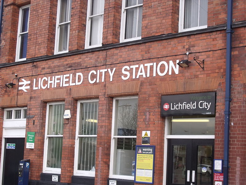
Perhaps the biggest faux pax you can commit about the place that gave the world Samuel ‘Dictionary’ Johnson is to spell the name incorrectly. Outsiders, please note that these days the only acceptable ‘T’ in Lichfield comes with biscuits and/or cake. The other way to wind up a Lichfeldian is to refer to Staffordshire’s premier heritage city as a town. En-route to the Guildhall Cells, perpetrators of this crime are taken past our central railway station to illustrate just how wrong they were.

"Lichfield City Station (6668724487)" by Elliott Brown from Birmingham, United Kingdom - Lichfield City StationUploaded by Oxyman. Licensed under CC BY 2.0 via Wikimedia Commons - https://commons.wikimedia.org/wiki/File:Lichfield_City_Station_(6668724487).jpg#/media/File:Lichfield_City_Station_(6668724487).jpg

“Lichfield City Station (6668724487)” by Elliott Brown from Birmingham, United Kingdom – Lichfield City StationUploaded by Oxyman. Licensed under CC BY 2.0 via Wikimedia Commons

Once they are in the stocks, heretics are then read to from the charters, currently held at the museum in St Mary’s, which include Queen Mary’s declaration of 1553 that Lichfield was not only to be a city, as granted by her brother Edward five years earlier, but also a county in its own right.

stocks

“OK it’s a city. I get it. I’m sorry. I’m from Tamworth”

This is the charter which gave rise to the annual Sheriff’s Ride (and its much more recent and considerably shorter spin-offs), a twenty mile perambulation of the current boundary of Lichfield. I had often sat and wondered whether at any point, the boundary was physically marked in someway (I do need to get out more) and just recently found an article written in the late nineteenth century which says it was, “formerly marked by wooden posts, but they have much deteriorated and in some instances disappeared. A renewal in iron of the most important has recently taken place”.

The Sheriff perambulating Cross in Hand Lane in 2014

The 2014 Sheriff perambulating Cross in Hand Lane.

Descriptions of the boundary of the City of Lichfield date back to the late 1700s. Back then it was only a sixteen mile round trip. Although in 1806, local historian Harwood said they were based on ‘ancient writings’, I understand there is no earlier written description of exactly what constituted Lichfield. However, there are piecemeal records showing some of the boundary changes over the centuries. And there must have been a fair few changes to get from a medieval town you could walk around in an hour to a city with a circumference of sixteen miles.

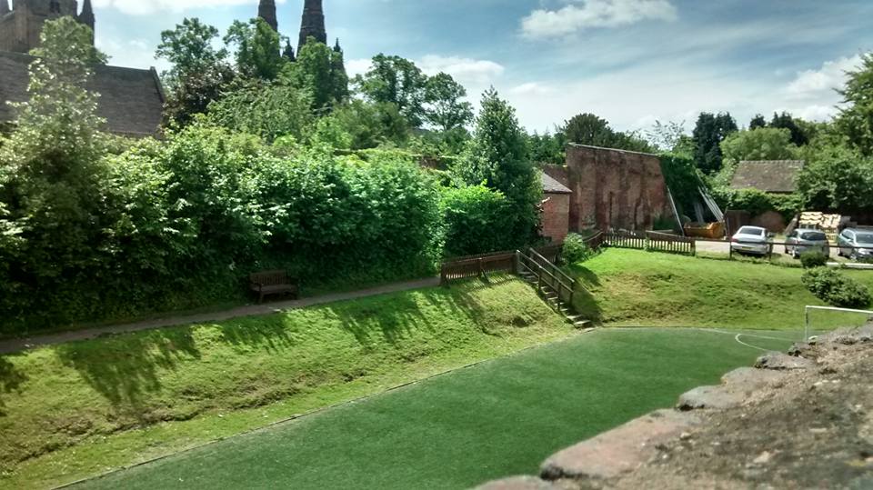
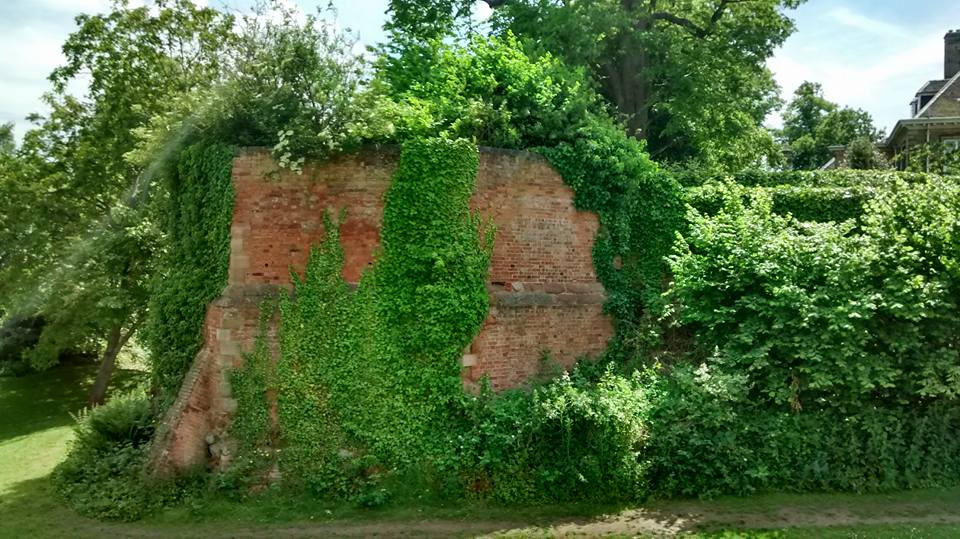
Last week I spent a sunny morning trying to trace the boundary of what would have been the medieval town. With the help of John Snape’s 1782 plan of Lichfield, it’s actually fairly easy to do, even for someone as illiterate at map reading as me.  Bishop Roger de Clinton surrounded the south part of the new town he had laid out in the late twelfth century with a bank and ditch and fortified the shared northern boundary of the town and Cathedral Close. Apart from a couple of inconveniently placed walls, you can pretty much walk the whole way around.

The moat marking the northern boundary of both medieval Lichfield and the Close. Described on Snape's map as a dry ditch or dumble.

The moat marking the northern boundary of both medieval Lichfield and the Close. Described on Snape’s map as a dry ditch or dumble.

Remains of the NE Tower, part of the Close's fortifications.

Remains of the NE Tower, part of the Close’s fortifications.

Thanks to archaeological investigations, we know that the town ditch in the St John’s Street area was about five metres wide, two metres deep and inevitably, was also used as a public tip.

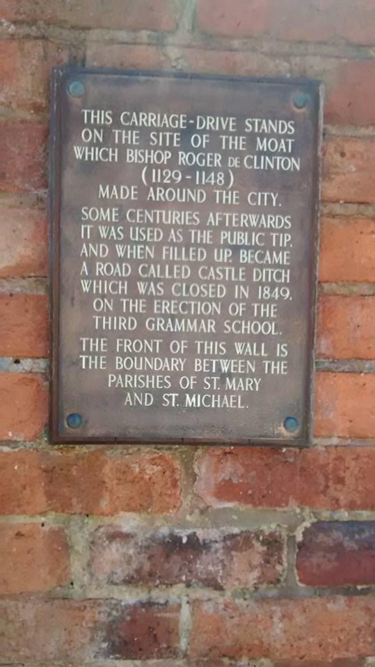
Castle Ditch plaque

The driveway passing the LD Council Offices follows the line of the town ditch, and there's a plaque there telling you that.

The driveway passing the Lichfield District Council Offices follows the line of the town ditch, and there’s a plaque there too.

When a section in the Council House car park was excavated in 2008, archaeologists discovered the sole of a woman’s shoe from the twelfth century, part of a medieval jug and the remains of a medieval dog’s head.

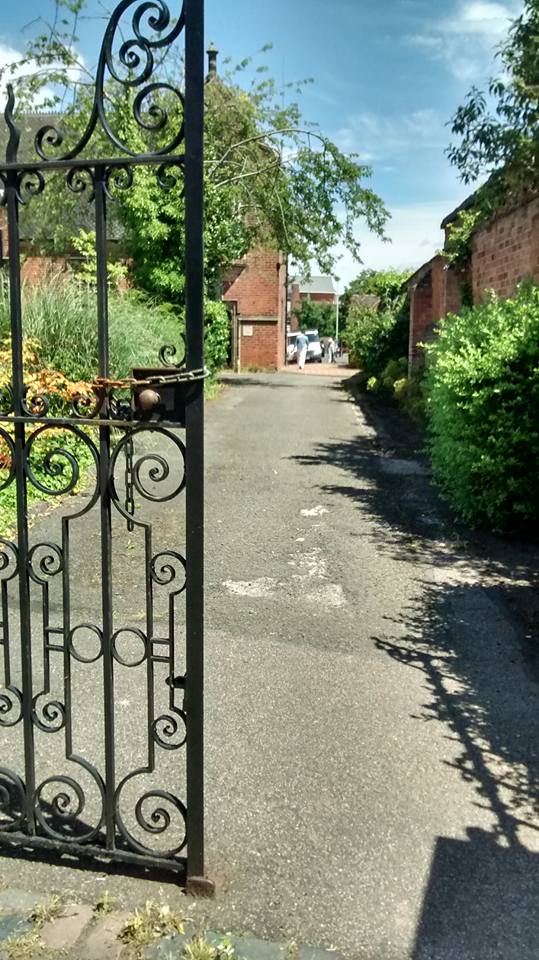
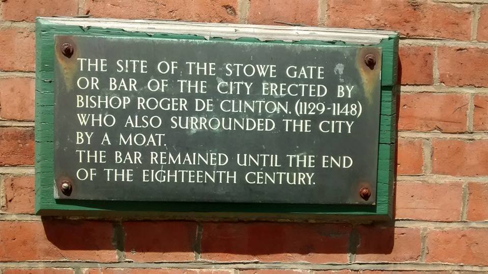
This plaque is located at the junction of Lombard St, Stowe Rd and George Lane

This plaque is located at the junction of Lombard St, Stowe Rd and George Lane.

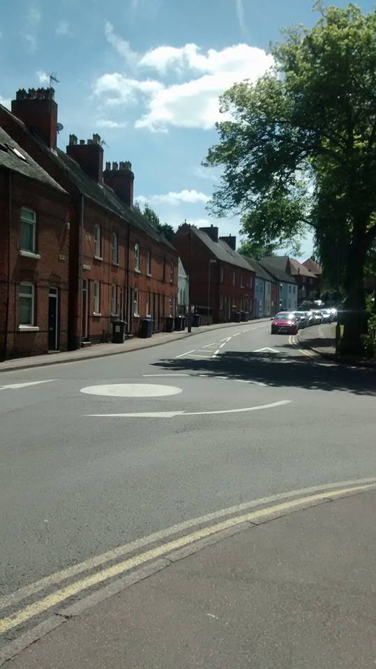
Back to plaque, looking up George Lane which was actually once part of the town ditch

Back to plaque, looking up George Lane which was actually once part of the town ditch, possibly until the 16thc

Snape’s plan also marks the gates, or bar(r)s, at the main entrances into and out of Lichfield, and there are plaques at each of the locations, with the, hopefully temporary, exception of the Sandford Street gate. The building it was mounted on has recently been demolished but I’m sure the plaque is being kept safely somewhere….

Perhaps the best known of the gates is the one at St John Street which is still recalled in the name of St John the Baptist without the Barrs. You know, the place with all the chimneys. As the name indicates, this stood just outside the gate and started out as a hostel for those arriving when Lichfield was closed for business for the night, many of them pilgrims on their way to see the shrine of St Chad at the Cathedral.

st john sign

On the subject of names, the section of the ditch running from the gate on Tamworth Street, to the gate near St John’s Hospital was known as Castle Ditch, and this, alongside hard evidence in the form of stones turning up nearby and evidence of a slightly more fluffy nature in the form of myth and folklore, has caused endless speculation as to whether Lichfield ever had a castle proper alongside the fortified Close with its towers, turrets and strong walls.

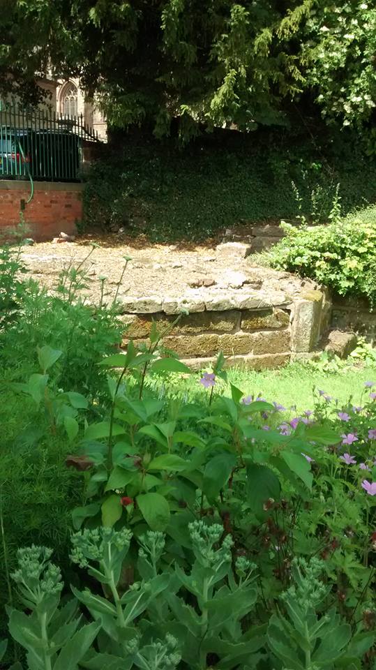
Remains of south gate tower leading from dam Street to The Close. Excavated in the 1980s

Remains of one of the towers which were part of the south gate between Dam Street and The Close. Excavated in the 1980s.

So, plenty of opportunities to get out more here. I think the two mile-ish walk around the ditch will make an excellent Lichfield Discovered adventure. I would also happily walk sixteen miles to find one of those old iron boundary markers although I may be on my own with this. It’d also be interesting to see how Lichfield has burst its boundaries over the years gobbling up all of the surrounding settlements, so much so that it’d take you six hours and twenty four minutes to perambulate the current perimeter, according to this walking calculator I’ve found.  And that doesn’t even include getting distracted by other things or stopping off at the pub. It’ll have to wait though, as right now I’m off on an expedition to Borrowcop to see if I can capture Lichfield Castle.

1)  If we’re doing names, then I have to mention that Bakers Lane was once known as Peas Porridge Lane. Just because.

Landscape Gardening

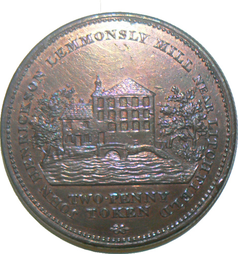
I’m still not sure whether I live in Leomansley or Leamonsley but what I do know is that this area of Lichfield grew up around a fulling mill opened on Leomansley brook in the late eighteenth century, somewhere around where Leomansley Manor now stands. In the 1830/40s, a row of cottages, once home to many of the mill’s workers, was built along what was then the Walsall Road and the area has continued to develop since then.

Token for Leomansley Mill taken from Lichfield District Council flickr stream.

Token for Leomansley Mill taken from Lichfield District Council flickr stream. Hard to believe this once stood alongside the brook in the woods. The mill may be long gone, but traces of the mill pond can still be seen.

Victorian terraced houses, 1930s semis, new build apartments on the site of the former Carpenter’s Arms pub (boo!), a former lodge at what was once an entrance to the demolished Beacon Place, vicarages old and new, post first world war council houses, a 1960s community hall and housing estate and a much extended Edwardian school – to walk around Leomansley is to take a trip through the story of domestic architecture during the last two hundred years.

christ-church-gardens

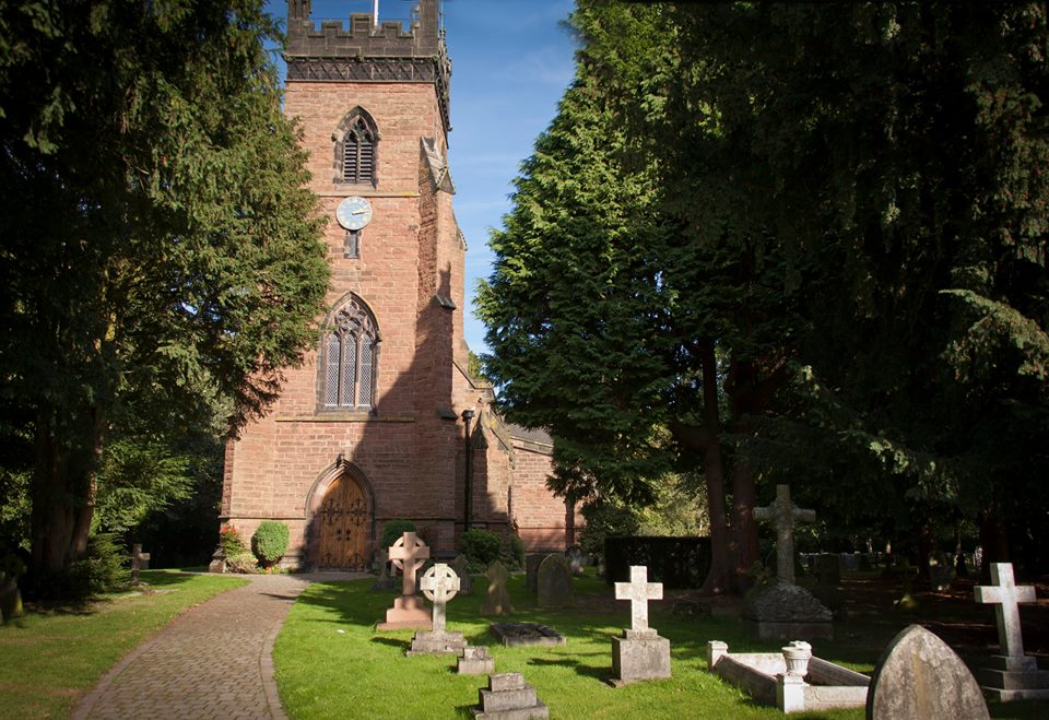
There’s also a rather lovely Victorian gothic revival church too, and on the weekend of 4th and 5th July 2015, Christ Church is combining an Open Gardens event with an exploration of the social history of the area.  Organisers, the Friends of Christ Church, have studied census records, deeds and maps, and collected oral histories which they’ve used to produce a guide which will tell you not only about the history of the twelve houses opening up their gardens but also the story of Leomansley’s development from an area of common pasture on the western boundary of Lichfield, to the place it is today.

Christ Church. Photo by David Moore.

Christ Church. Photo by David Moore.

Admission to the gardens is between 2pm and 6pm on both days, and programs will be available from Christ Church itself, plus any of the participating gardens, at £4 each. There will be refreshments at 19 Christchurch Lane, and there will also be plant stalls, for anyone feeling inspired by what they’ve seen. I know I’m biased but Leomansley is as lovely as it is interesting, and I hope that people from not just the immediate area, but also from far-flung and distant places like Boley Park come along and find out more about our bit of Lichfield.


Off the Mark

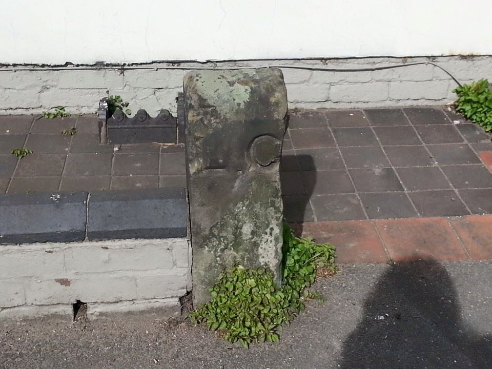
I’m supposed to be revising right now, but it does you good to have a little diversion now and again. So, just a quickie but it’s an interesting one. On my way to Wall last Monday, I spotted this marker stone outside Redlock Cottage on the Birmingham Rd. As this isn’t too far from the route that the Wyrley and Essington canal once took through Lichfield, I assumed that it was some sort of boundary marker, with ‘L.C’ standing for ‘Lichfield Canal’, possibly salvaged by previous owners of the cottage when this stretch of the Curly Wyrley was filled in.

LC marker

Turns out my theory was as rubbish as a shopping trolley at the bottom of the cut. Christine Howles, one of the Lichfield & Hatherton Canal Restoration Trust’s volunteers, reminded me on Facebook that the name ‘Lichfield Canal’ only came in to use when the trust started their restoration work. So, what else could ‘L.C’ stand for? Having done a bit of digging (her pun, not mine!), Christine thought it may be part of a boundary marker for the Lichfield Conduit Lands, with an ‘L’ missing?

As I was writing this, I remembered that back in October 2013, on one of our Lichfield Discovered walks around Leomansley, my friend and neighbour Kerry showed me a mystery stone that had turned up in her garden….marked with a letter L. I’ll blame a head full of phonology for not making the association sooner but surely there is some connection between these two stones? Really do need to book myself in for a week at L.R.O. After the exams though, must concentrate on those kinds of marks first….

leomansley stone 2


Bestowed

I’m in the midst of writing an assignment so just a very quick one that I’m hoping to follow up when I’ve more time. Yesterday //platform.twitter.com/widgets.js” target=”_blank”>on Twitter (yes I know, I’m supposed to be writing an assignment), I noticed that Historic England were doing a survey of post-war housing for the elderly and it reminded me that a while back I’d seen a plaque outside a row of bungalows on Stowe Road so I popped out for a breather and another look.

Lunns

AlmshousesThanks to Aaron on Facebook, who did a bit of research, I now know the basic history of these homes. In 1654, William Lunn left two almshouses for six poor widows in his will. The date of 1667 given on the plaque is when Edward Lunn (presumably his son) conveyed them to a trust. By 1762, there were six two roomed cottages on the site and as the plaque tells us, these were replaced with six new bungalows in 1959. As the plaque doesn’t tell us, because it too dates to 1959, more were added in the 1980s.

Although I’d like to see a photograph of the cottages as they were, what interests me more than the bricks and mortar here are the people. I want to know about William Lunn and the reason for his charity. I want to know about the women who lived there three hundred and fifty years ago and those who have called the almshouses home since.  Lunn’s Homes may not have the ye olde appeal of some of Lichfield’s other almshouses, such as St John’s and Dr Milley’s, but they’ve a story worth telling and, according to Historic England, architecture worth recording.

Edit:

Now I do have more time, I called into Lichfield Record Office to take a look at the accounts book they hold for Lunn’s Charity. It covers the period 1851 to 1883 and begins with a description of the trust as follows:

William Lunn of the City of Lichfield by indenture dated the 26th June 1667 gave to Trustees certain messuages and two acres of land within the city, for six poor, ancient and impotent widows of the City of Lichfield.

As well as recording payments made for various services (coal from Mr Brawn, and later Mr Summerfield, Mr Gorton for repairs and perhaps most intriguingly, a payment of 10 shilling on 27th March 1874 to Mr Duvall for ‘removing a nuisance’), it tells us that the women were each paid an annual sum of 5 shilling each and that they were allowed half a ton of coal five times a year.

Who were these women though? All I have at the moment is a list of names from that thirty year period to work through.  The book starts with a list of those allocated rooms as at 11th October 1851: Sarah Thacker admitted in 1837; Jane Smith in 1843; Catherine Trigg 1845; Mary Bullock (undated); Hannah Cresswell (undated) and notes that one former resident, Elizabeth Walker is dead. Her place is given to Helen Hartwell aged 79. And this is how it continues every year – a list of women and a note of those who have died (or left, for reasons unspecified), and those who take up residence in their place. Sometimes the husband’s name is included, sometimes the name of the street the women were leaving for the almshouse. For example, in 1879, Widow Sarah Harris of Stowe Street/George Lane was appointed inmate in the place of Widow Belfield who quit aged 61 years.

Lunn Board St Chad

There is a memorial to William Lunn Gent. in St Chad’s church describing his gift of two houses in Stowe Street and two acres of land in Longfurlow for the benefit of six poor widows for ever. So, Lunn is buried at St Chad’s and I imagine that many of the poor widows who benefited from his gift are buried there too. Are their graves marked I wonder? Thinking about it, there was no mention of costs for burials and headstones, in the accounts, so presumably this would have been the responsibility of any relatives. Assuming there were some.

Somebody posted an Italian proverb on Twitter earlier that I hadn’t heard before, ‘After the game, the king and the pawn go into the same box‘ and of course, people talk of ‘Death -the great leveller’, although reading about Victorian and Edwardian pauper burials (1), I’m really not convinced. What I am sure of though is that achieving equality when you’re dead is a bit late – a more level playing field beforehand was, and still is, needed.

Note

(1) In March 1904, at the fortnightly meeting of the Lichfield Board of Guardians, the Workhouse Master was asked whether any steps were taken to mark the graves of paupers in St Michael’s Churchyard, and whether Burial Board regulations were in force in Lichfield i.e. numbers placed on the graves and a register kept. The Master replied there was no burial board in Lichfield and was criticised for not carrying out the same regulations for ‘decency’s sake’. One to follow up I think.

Sources:

‘Lichfield: Charities for the poor’, in A History of the County of Stafford: Volume 14, Lichfield, ed. M W Greenslade (London, 1990), pp. 185-194 http://www.british-history.ac.uk/vch/staffs/vol14/pp185-194 [accessed 20 April 2015].

Coley, N.  Lichfield Book of Days, The History Press

The Duck Stops Here

Shopping in Lichfield last week, I was called ‘me duck’. It’s not something you hear much here, it’s nearby Burton where you are much more likely to be someone’s duck. In past posts, I’ve talked about how stones, rivers and even ancient burial tombs have been used to define the boundaries of a place, but here I’m interested in audible rather than visible markers. The boundary where a linguistic feature stops and starts is known as an isogloss, and if they say duck fifteen miles up the road but not here, then I reckon there must be one close by. But where?

ducks

Photo by Joe Gomez

We may not call each other duck often, but how do we (after eleven years, can I class myself as a Lichfeldian yet?) talk?  According to Timothy Wilson-Smith, Samuel Johnson retained traces of his accent throughout his life (apparently one of the ways he gave his roots away was his pronunciation of the word punch) but is there such a thing as a Lichfield accent now and if so, what is it?

No easy answers but might be fun trying to find out. Perhaps from now on I should carry a dictaphone along with a camera and a notebook, although I might get people calling me something less polite than ‘duck’ (think some probably already do). In the meantime, listen to the accent of Tom Marshall, a lifelong resident Longdon (ok, not quite Lichfield but only four miles away), who David Moore interviewed for an oral history project recently (listen here).

Sources:

Wilson-Smith, Timothy (2004) Samuel Johnson Life and Times