Wood Work

This week started with a brand new orchard and ended with an ancient woodland.

Last weekend, I helped to plant cider trees at Woodhouse Community Farm in Fisherwick. It wasn’t just the potential liquid reward that got me out of bed on a cold and frosty Sunday morning, there were a couple of other reasons!

It's got a lot of potential....


Orchards are becoming a rare habitat – according to Natural England, it’s estimated that the overall orchard area in England has declined by 63% since 1950. A traditional orchard can support around 1,800 species of wildlife. Although it will clearly take a while for the new cider orchard to reach this stage, I’m hoping that it will help to redress the balance a little bit! The People’s Trust for Endangered Species recently created an inventory of the traditional orchards in England, and you can read the summary of their findings for Staffordshire here.

Being involved with the orchard will also give me an opportunity to learn something about some disappearing traditional skills and knowhow. Growing fruit trees is a fascinating business, although I clearly have much to learn as I was the only person whose tree had to be dug up and replanted. Hopefully I’ll be better at the cider making bit, but if not, there’s always the cider drinking part which I’m fairly confident about.

In contrast to this budding orchard, on Friday I found myself amongst much older trees. Merrion’s Wood is a lovely nature reserve, just outside Walsall town centre and looked after by Walsall Countryside Services. Bluebells are already starting to shoot up all over there and countryside ranger Morgan told me that these plants were an indicator of ancient woodland, along with several other species.

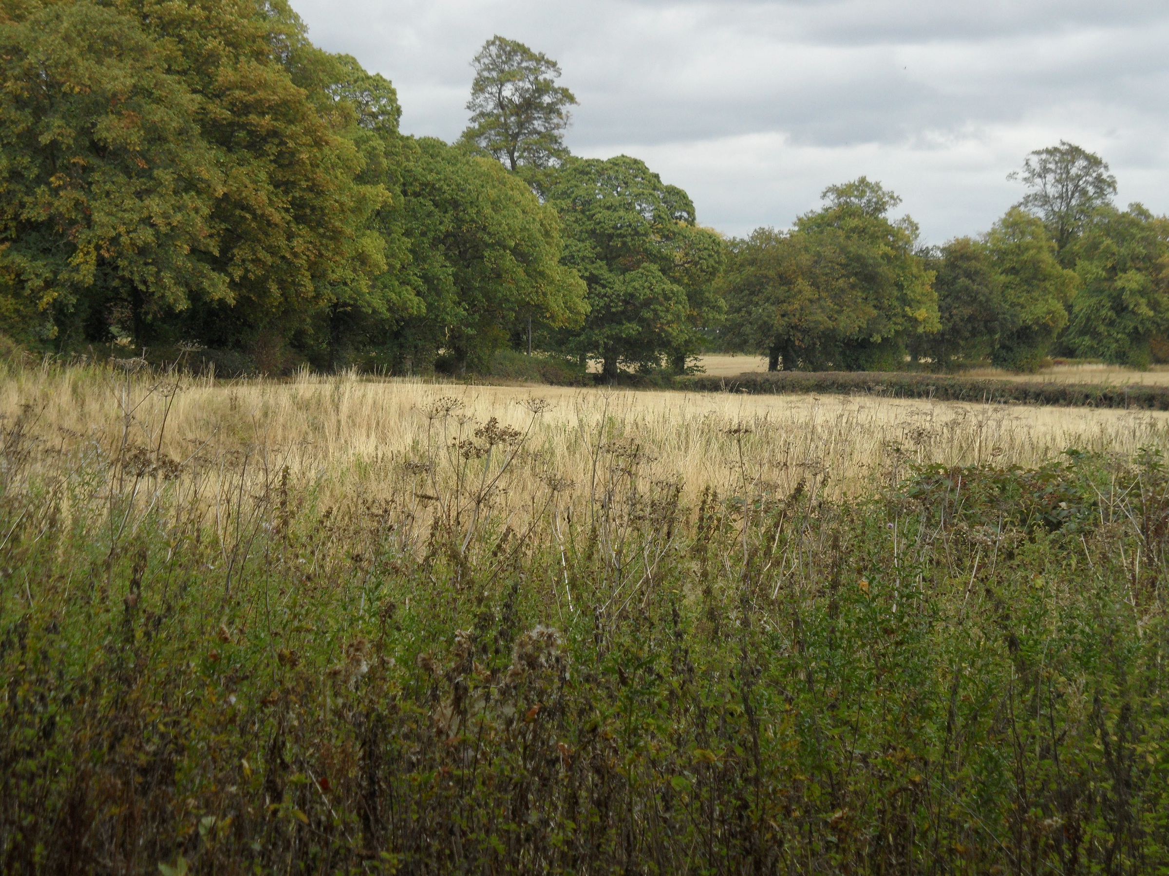
Ancient Woodland in Leomansley

Leomansley Wood is full of bluebells in springtime. An interactive map of habitats from DEFRA confirms it as ‘ancient replanted woodland’. This means that although the site has been continuously wooded since 1600 (at least), the trees are more recent. It’s interesting that the place name is thought to include the celtic element ‘lemo’, meaning an elm (1) or possibly ‘leme’, lime tree.  The ‘-ley’ suffix is thought to come from the Anglo Saxon ‘leah’ meaning ‘clearing’ (2).

I think that to find a nearby semi natural ancient woodland, you need to visit Hopwas Woods near Whittington Barracks.  I should probably do this myself at some point! It’s worth pointing out that only 1.2% of the UK is made up of this kind of habitat and that it is irreplaceable. (3)

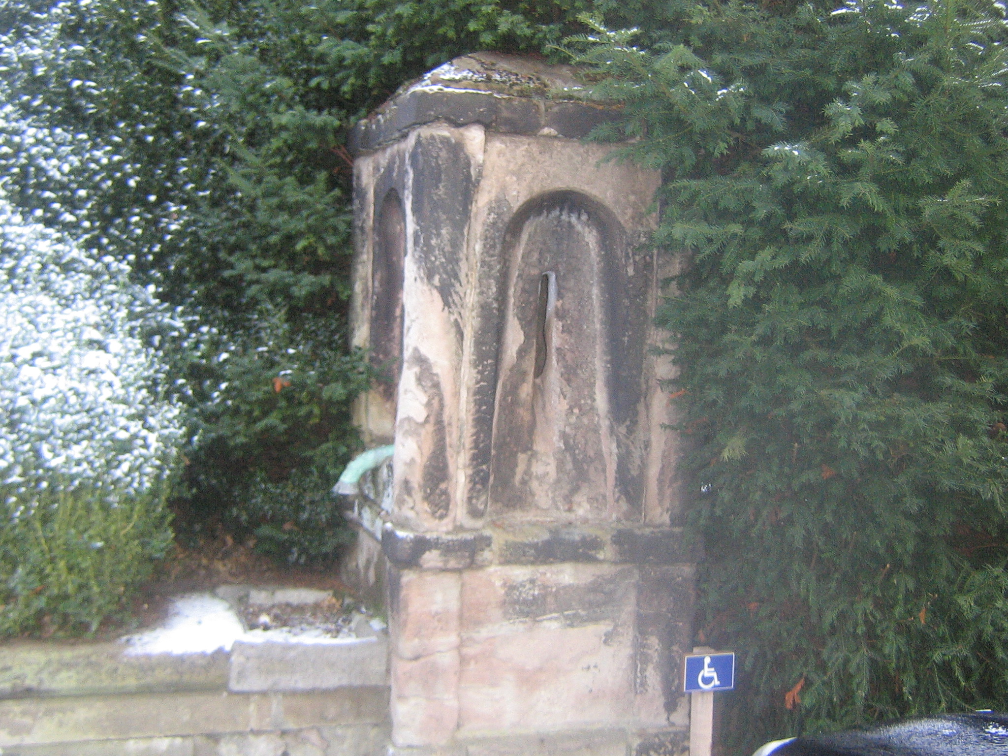
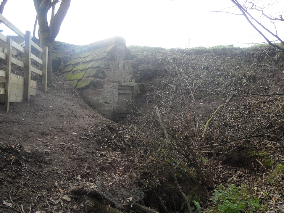
The DEFRA map also shows a traditional orchard between Maple Hayes and Jubilee Wood (where the conduits are!) with several others around Burntwood and Chorley. Perhaps even more interestingly, it seems there are two patches of traditional orchard in a built up residential area of Lichfield. I don’t know if I should say where, it might encourage scrumping!

I’ve also noticed several apple trees growing alongside the A51. How did these get here – discarded apple cores from car windows or remnants of something else? Perhaps more importantly, can I use these to make cider? 😉

Footnotes:

Don’t just take my work for how brilliant Woodhouse Community Farm is! There is a snowdrop walk on Sunday 5th February at 10.30am, where you can also see some of the things they have planned for the future.

The Woodland Trust point out that although many ancient woodlands have been recorded on inventories, there may also be unidentified fragments out there. Although bluebells don’t always indicate ancient woodland, if you do spot any growing this spring it might be worth having a closer look to see what else is around! The Woodland Trust have a really interesting guide to ancient woodland that you can read by clicking here.

Sources:

1) ‘Lichfield: The place and street names, population and boundaries ‘, A History of the County of Stafford: Volume 14: Lichfield (1990), pp. 37-42.
 2) http://finds.org.uk/staffshoardsymposium/papers/mattiasjacobsson

(3)http://jncc.defra.gov.uk/page-1437

Changes – New Mental Health Support Service in Lichfield & Burntwood

Ian’s been in touch to ask if I can help to publicise a new organisation doing some great work in our area……

Changes is a mental health organisation offering a range of services including friendly mutual support groups, social activities and opportunities for accredited training via the National Open College Network. These services can be accessed for free, without the need for a GP referral. Local volunteers are helping to run the service in the Lichfield area.

In addition to these services, Changes also run wellness courses for people in mental distress, and the next one starts on Monday 23rd January between 10.30am & 12pm at the Pavilion in Beacon Park. The course is free of charge and public transport costs can also be met.

Changes was formed by people with experience of using mental health sevices, to help both themselves and others in the same situation. They aim to provide personalised support and services,  greater independence and to help people with their social skills, to regain confidence and to become active members of their community.

If you would like to find out more about the course, or to find out more about the service generally, you can visit the website www.changes.org.uk or contact Ann at the Lichfield Wellbeing Centre on 01543 309 770 or Samatha at the Burntwood Wellbeing Centre on 01543 679 000 who would be pleased to answer any questions you may have.

Discovery Channel

After fifty-five weeks, four failed attempts and roping in several members of my family I finally found the medieval conduit head up at Pipe Hall Farm in Burntwood. You know though, you wait all year for a conduit head & then two turn up…..

A little background first. From 1160 until 1969 water was carried one and a half miles from springs in the Pipe area of Burntwood to the Cathedral Close via a conduit. At the source, a cistern was cut into the rock and a small brick building was erected over the source to keep the water clean and healthy. (2) This medieval conduit-head was in use for the majority of the time, but was temporarily replaced by a brick conduit between 1780 and 1821*. After an incredible 809 years, it was decided that it should carry water no more as it was constantly being damaged by ploughing and having to be fixed by Bridgeman’s employees (hope you appreciate the irony of this Vickie Sutton!) (3)

This pump outside the Cathedral replaced the Close’s conduit head in 1786

As water pipes go, this one had a pretty eventful life. Although the conduit itself was later known as Moses, it’s thought it gave the name ‘Pipe’ to the whole area.(4) It was vandalised by Lord & Lady Stanley, until King Henry VII stepped in in 1489 and told them to behave. In the early 16th century, washerwomen drawing water at the Cathedral end were said to be scandalising residents of the Close and during the Civil War it was inevitably stripped of lead by soldiers.(5)

In December 2010, around the same time I started this blog, I made it my mission to find the Medieval Conduit Head.  I went to the wrong woods twice. Then I went to the correct woods twice but looked in the wrong place. This time, I gathered a team of explorers aka my family and at the noticeboard in the Pipe Hall Farm car park I gave them their orders. ‘This’, I said pointing to a helpful map & photo, ‘is what we are looking for and we are not leaving here until we find it’. After an initial search proved fruitless we split up. Mr G spotted some bricks and on closer inspection we were sure we’d found the 18th century replacement brick conduit head.

Not medieval but still a conduit head!Close up there’s a visible date. 1755?

Cheered by this discovery, we went to find the others. My Mum wasn’t far away and told us a little further on she had spotted steps leading down to something and had sent my Dad to investigate. This had to be it.  I called to ask him if he’d found anything. ‘There’s this. I wasn’t sure if this was it or not?’ he said deadly serious, whilst stood next to a small building identical to the one in the photo.  ‘Yes Dad’, I said ‘Yes it is’. We celebrated with a cup of tea, enjoying the views of Lichfield from the hill.

The Medieval Conduit Head. As found by my Dad.


The channel making its way to the Close


…..to here.

Footnotes:

It seems ridiculous to say but both Conduit Heads are actually really easy to find. They are actually just off a main path running alongside the Jubilee Wood. You can even see the medieval one from this path.  => I was almost looking too hard. And I can’t read maps.

The Medieval Conduit Head was included on the 2008 English Heritage ‘At Risk’ register where its condition was said to be ‘poor’ but was removed from the list in 2010 after its restoration.

Pipe Hall Farm was recently included in the Guardian’s 10 best woods & forests for wheelchairs & buggies.

The date on the brick conduit head appears to be 1755, could this mean this conduit was in use for longer than previously thought?

I understand that the water that went to the other city wells & pumps (such as the Crucifix Conduit outside the Library and Records Office) came from a different source i.e. Aldershawe

Sources:
(1)Lichfield: Public services’, A History of the County of Stafford: Volume 14: Lichfield (1990), pp. 95-109. URL: http://www.british-history.ac.uk/report.aspx?compid=42348

(2)Water Technology in the Middle Ages: Cities, Monasteries & Waterworks after the Roman Empire by Roberta J Magnusson

(3) Annals of a Century: Bridgeman’s of Lichfield, 1878-1978 by Owen Keyte

(4) Notes on Staffordshire Placenames WH Duignan

(5) English Heritage at Risk Register 2008 and 2009